Thunderstorms and flash flooding are expected to once again hit Queensland's battered south-east in coming days.
The Bureau of Meteorology has issued a severe weather warning covering a wide swathe of the region, from the northern Sunshine Coast to Coolangatta on the Queensland-New South Wales border, and west out to Gatton.
The heavy weather is due to a coastal trough over the south-east, which is only expected to deepen in the next two days.
READ MORE: Biden says Putin 'cannot remain in power'
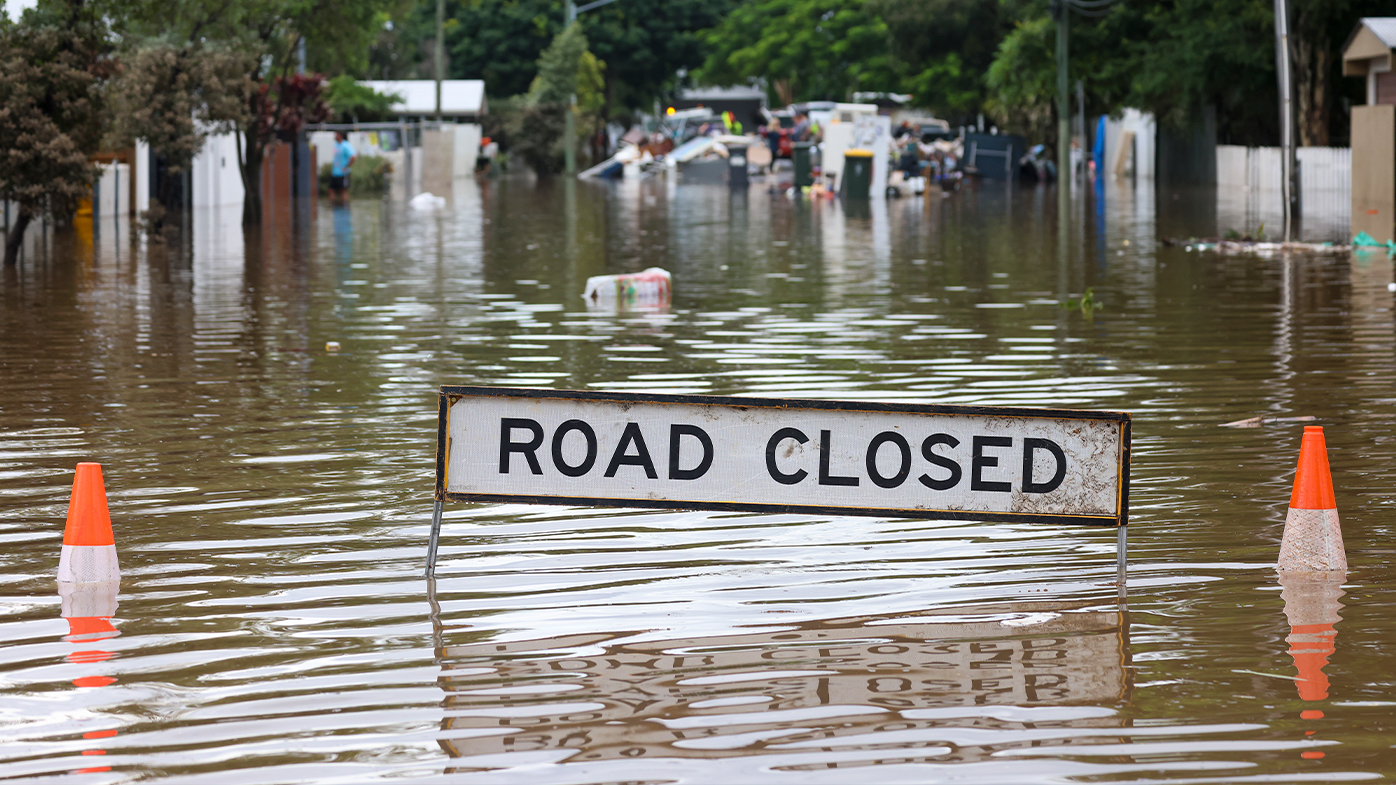
Heavy rain is expected from tonight, with widespread falls of up to 180mm.
Even larger falls of up to 250mm are predicted in isolated spots where thunderstorms are forecast.
There is a risk of flash flooding on Monday and Tuesday as well, with northern NSW facing the same problem.
READ MORE: US set to approve fourth COVID-19 jabs for older adults
Forecasters have said it won't take much rain to raise the water level to flooding, due to the saturated ground left by recent weather events.
It comes after waterspouts were seen yesterday off the NSW South Coast, which was subject to flash floods and heavy rain yesterday.
Stay up to date with warnings at the Bureau of Meteorology website.