New South Wales residents are being warned not to be fooled by a brief sunny respite over the next few days as flood waters continue to rise.
The mild weather is also likely to be short-lived, with more rain forecast again on Wednesday and Thursday next week, when another system moves across the state.
"My message is please don't be deceived. The sun might be out in various parts of the state, we may be seeing some dry conditions at the present, but our rivers continue to rise and we know that there is another event coming through," NSW Emergency Services minister Steph Cooke said.
READ MORE: Once drought-ravaged farm in outback NSW now surrounded by water
Dams at full capacity, with Sydney's Warragamba Dam currently releasing 90 gigalitres a day.
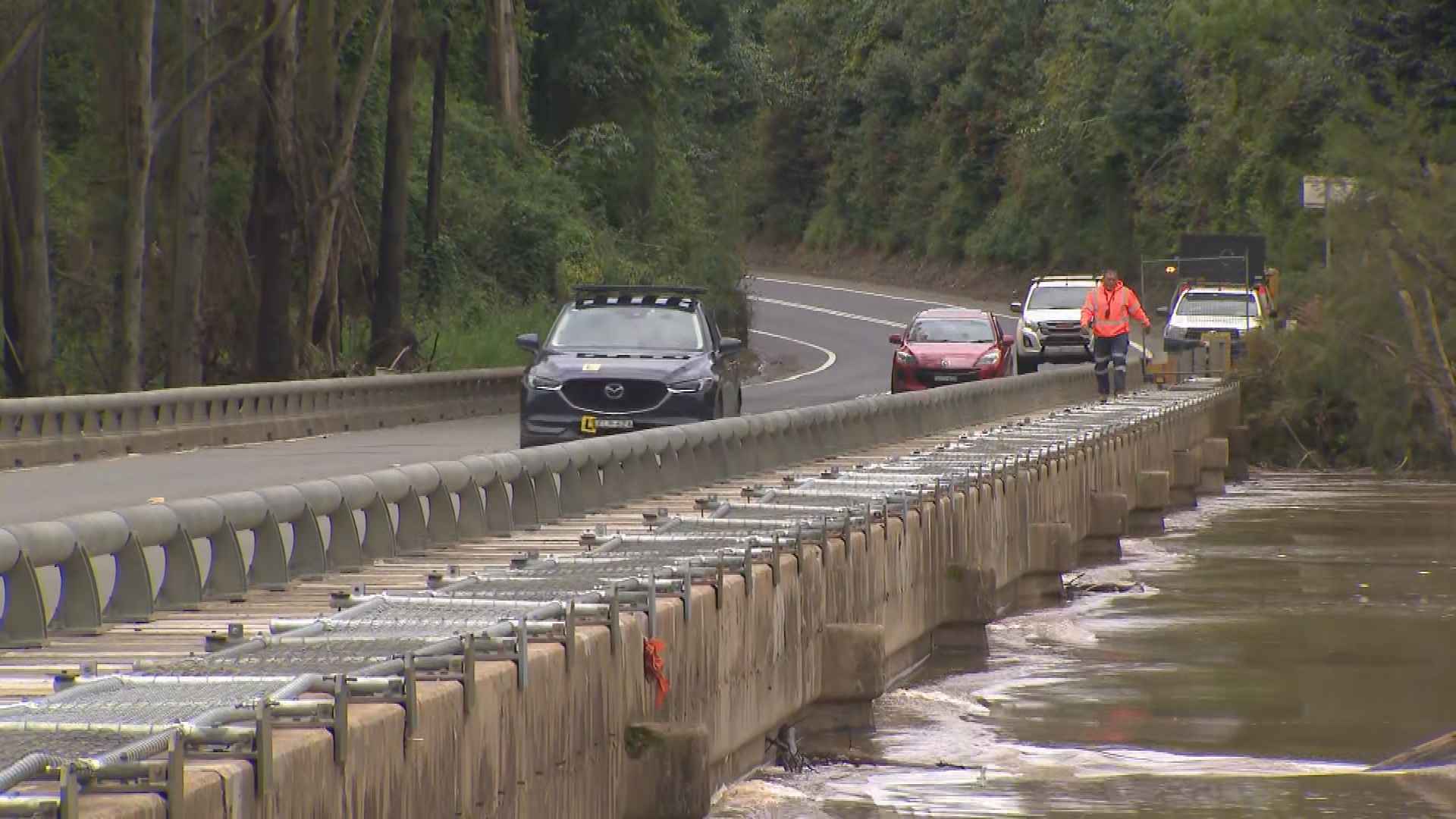
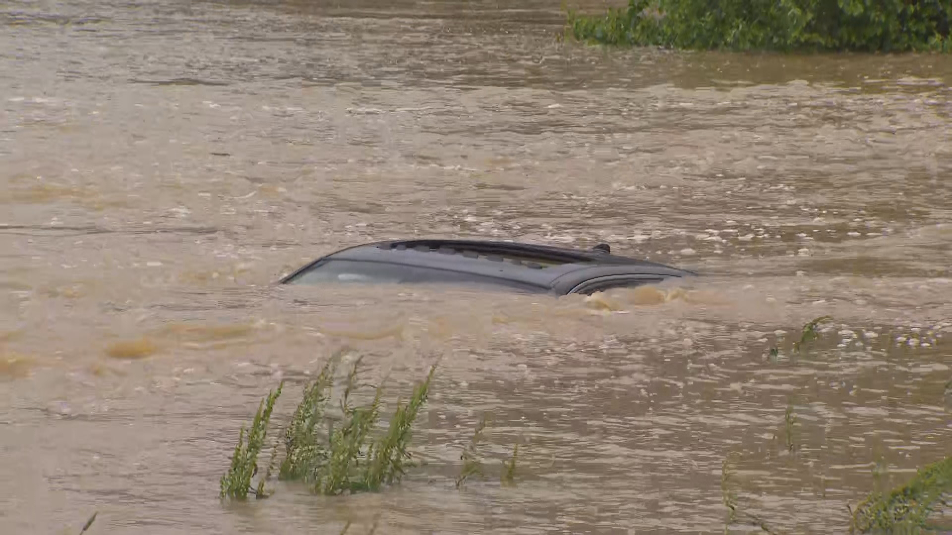
With grounds saturated, any more rain will come with the risk of flash flooding and drivers are being urged to take care on the roads.
"Please do not drive or enter flood waters under any circumstances, it places you at risk, it places your family or passengers at risk and it places at risk the lives of the emergency services volunteers who continue to turn up day in, day out to help where required," Cooke said.
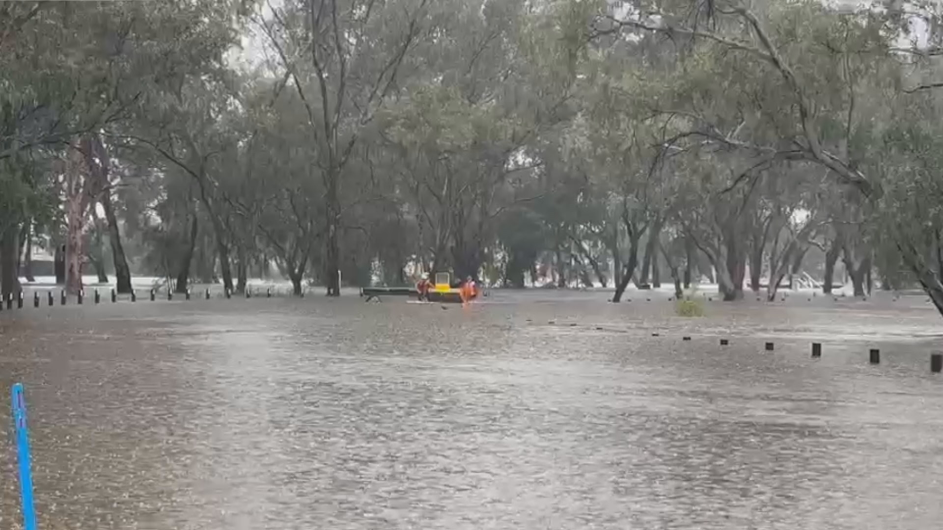
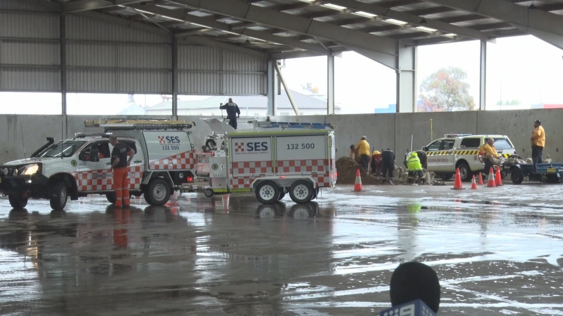
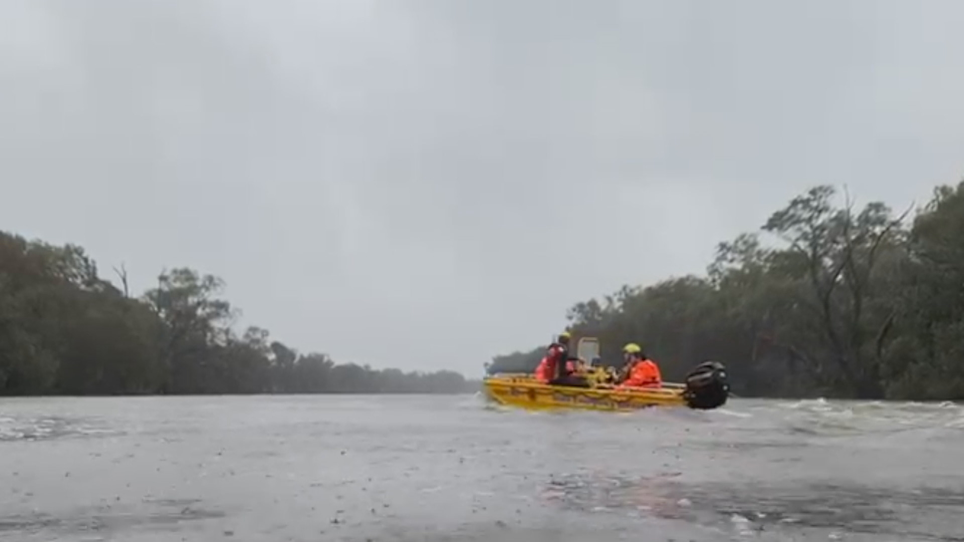
The NSW State Emergency Service (SES) has issued 94 warnings issues across the state, with the commissioner Carlene York warning residents to evacuate early and take extra precautions.
Jane Golding from the Bureau of Meteorology said up to 100mm of rain fell along some parts of the NSW coast over the past 24 hours, while up to 50mm fell across western and central western slopes.
Overnight, the SES responded to 343 requests for assistance, 21 of those being flood rescues.
Severe weather warnings relating to strong winds are no longer in place for the Illawarra, Metropolitan and Hunter districts, with conditions easing as the low pressure system moves offshore.
Evacuation orders issued
Heavy rainfall leading to flash flooding is no longer expected, however there are multiple flood warnings for much of the state, including emergency warnings for Oura Beach Camping near Wagga and Western Plains Tourist Park at Dubbo.
At Gronos Point, north of Sydney, the SES are directing people who live on along Gronos Farm Road and Manns Road, to evacuate immediately due to flooding.
There are fresh evacuation orders north west of Sydney.
Residents near the intersection of Sackville Road and Tizzana Road, as well as those living in some properties on West Portland Road in Sackville have been advised to leave before 11.45 pm tonight.
Meanwhile, some residents of properties in Lower Portland east of the Hawkesbury River on River Road have been told to evacuate by 5pm tonight.
An evacuation order for before 7pm tonight is in place for some properties in Cumberland Reach on Laws Farm Road, Lower Portland, also in the Hawkesbury.
Four SES evacuation centres have been set up – in North Richmond, Richmond, Dubbo and Castle Hill.
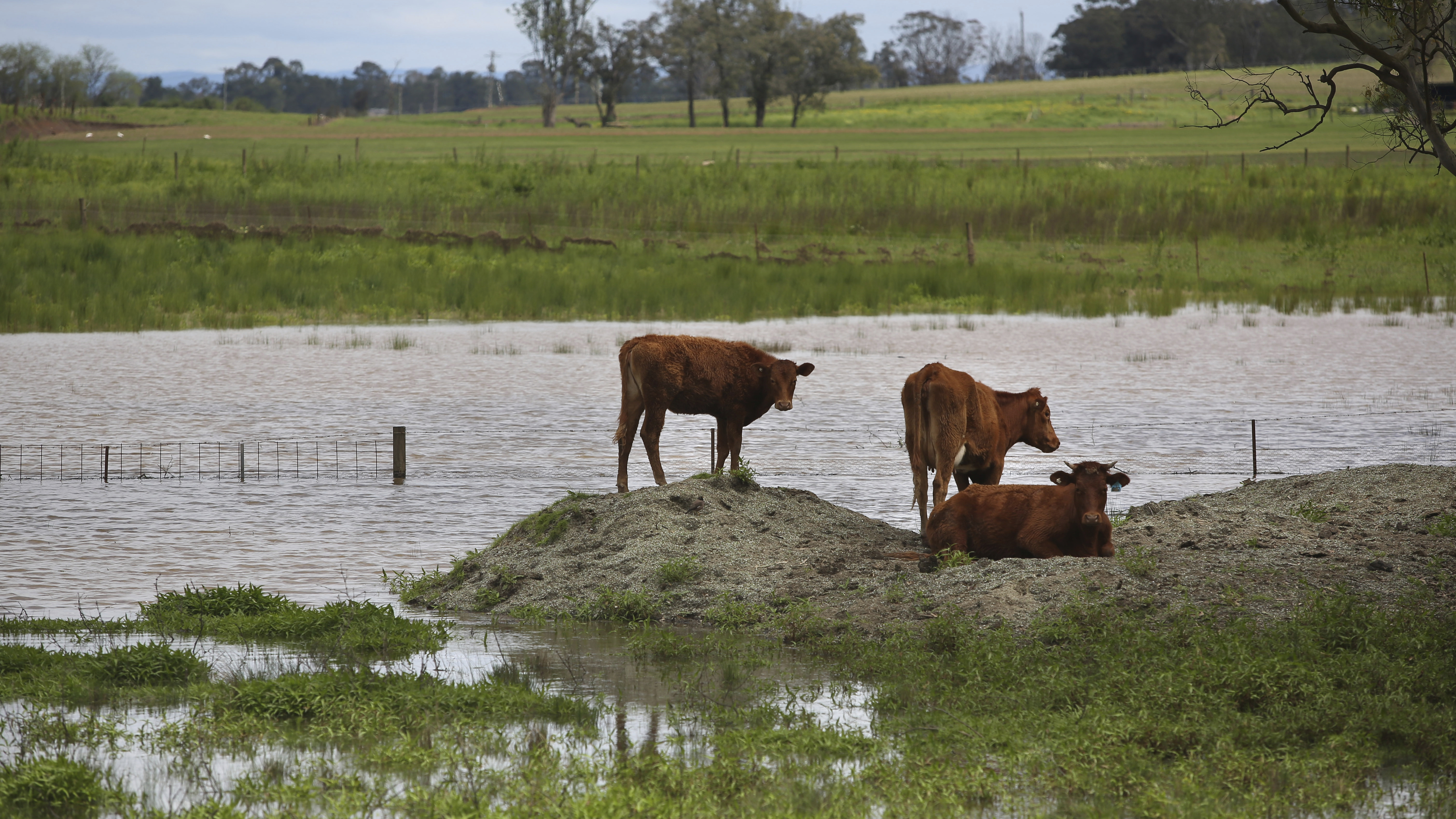
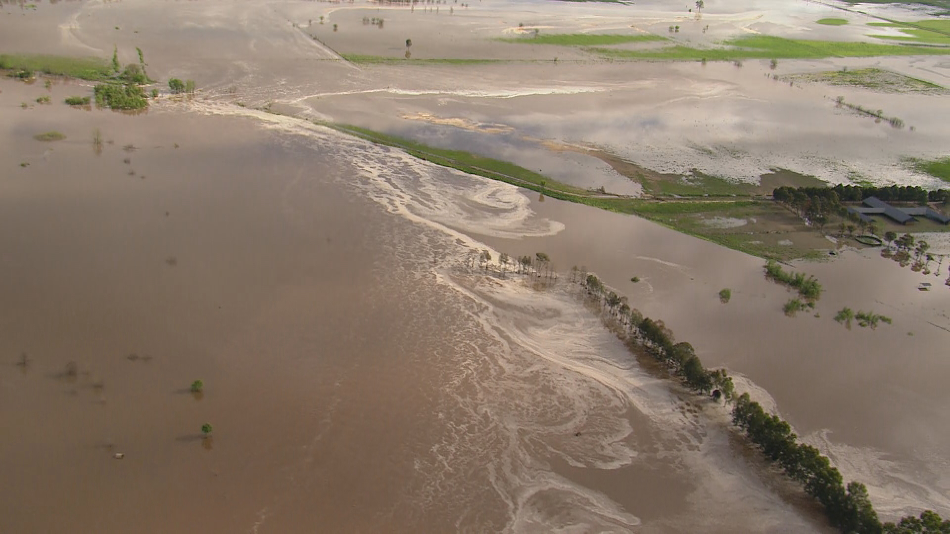
Due to the widespread rain, multiple inland and coastal rivers are forecast to reach major or near major flood levels over the coming days.
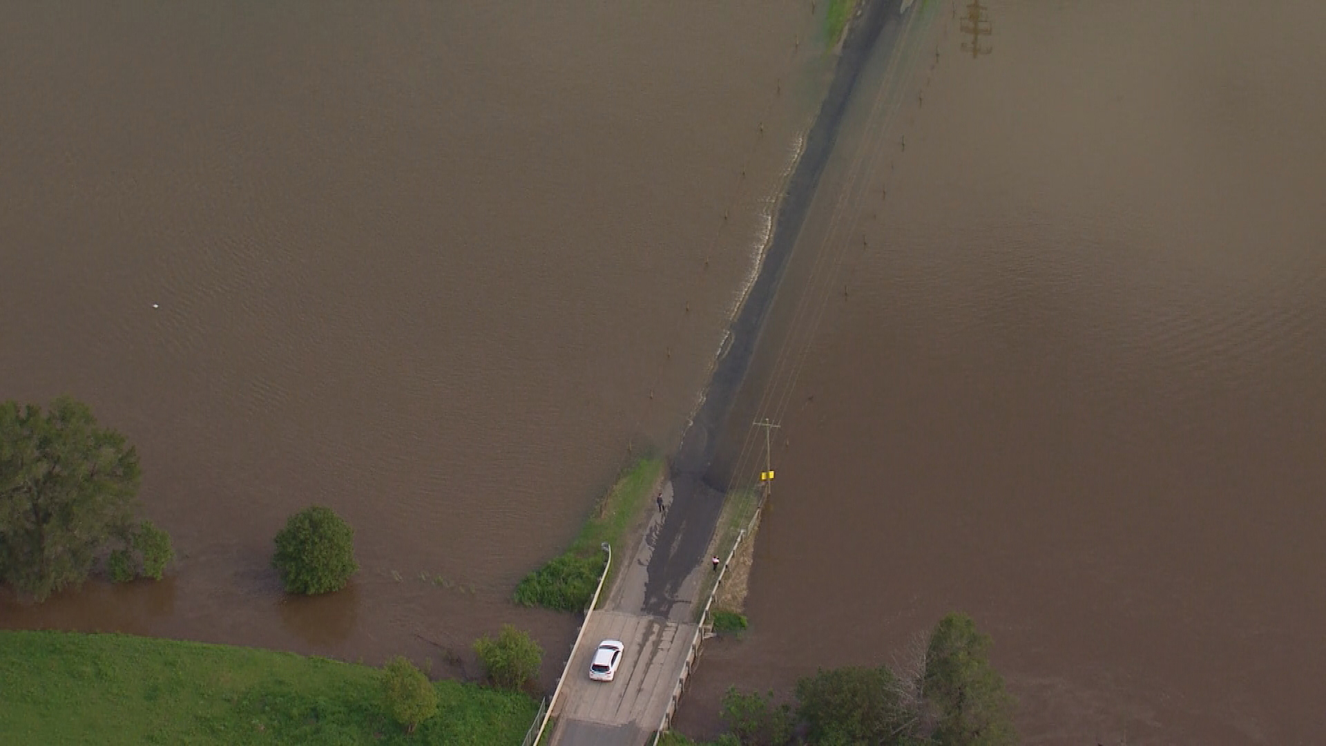
They include the Warren on the Macquarie River, Nanami, Cottons Weir, Jemalong, Euabalong, Forbes on the Lachlan River, Gundagai on the Murrumbidgee River, Weilmoringle on the Culgoa River and Tilpa on the Darling River.
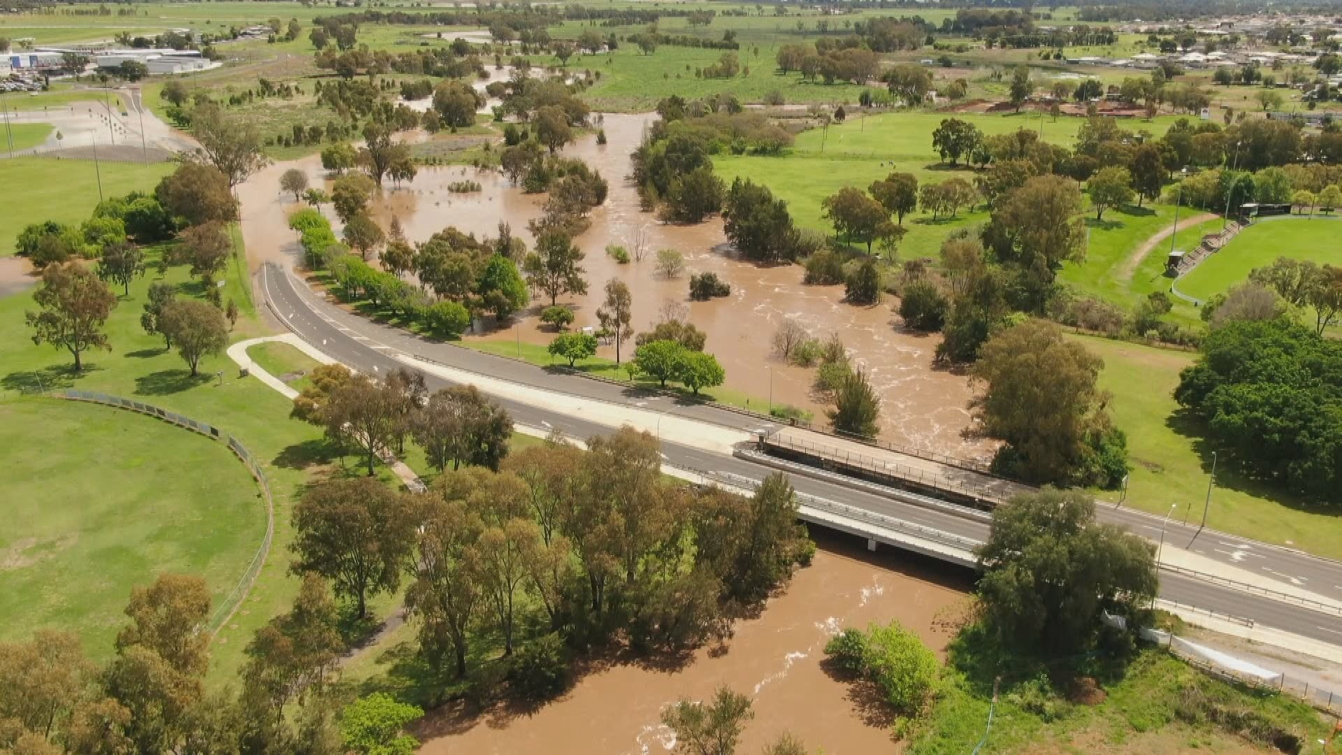
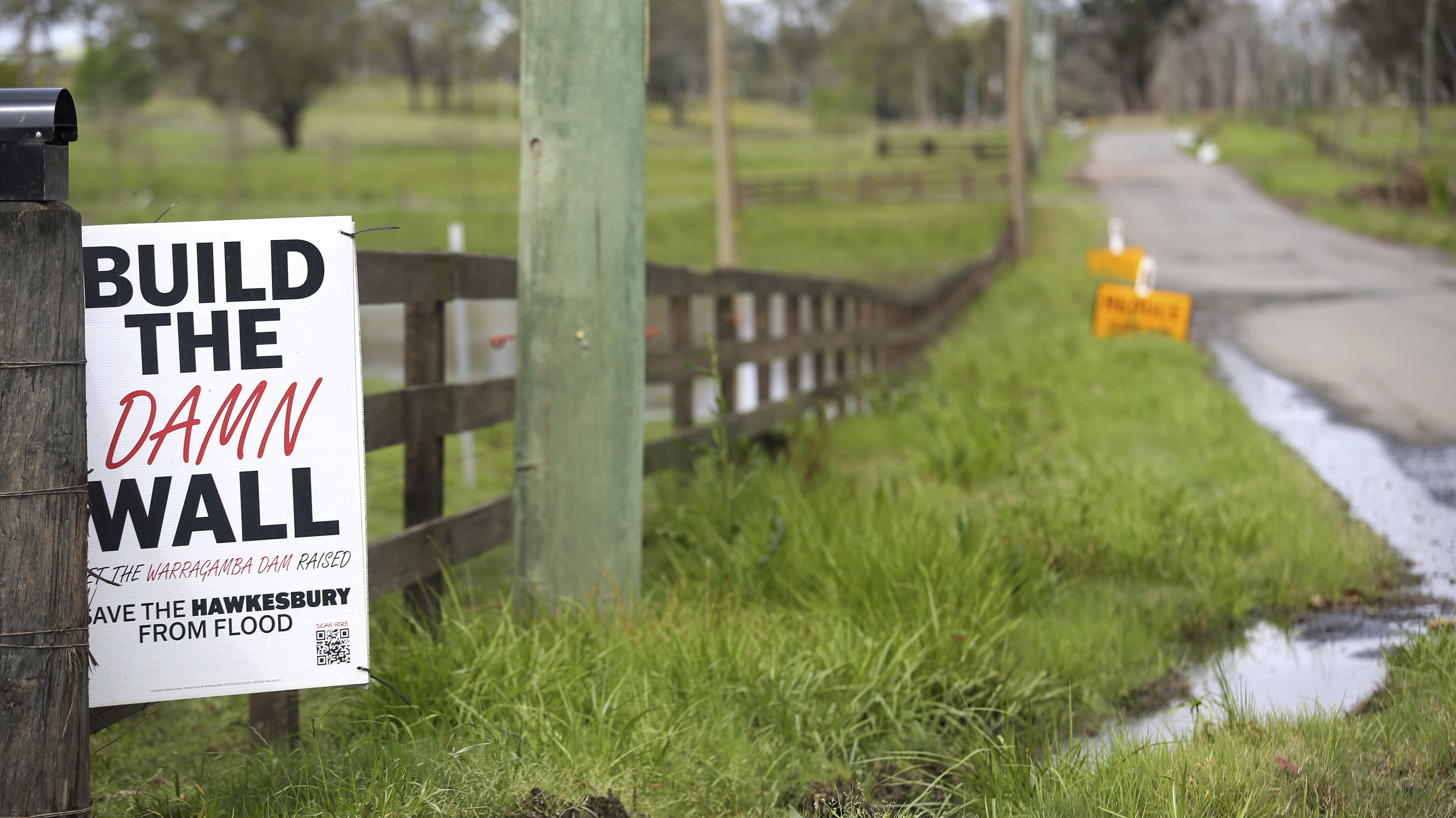
Some catchments east of the Divide are experiencing new flooding from this event, including the Hawkesbury and Nepean.
Along the Hawkesbury River, minor flooding is occurring at Penrith, North Richmond and Windsor.
Moderate flooding is possible at North Richmond from midday Sunday and at Windsor from late Sunday afternoon.
Minor flooding may occur at Sackville and Lower Portland from late Sunday onwards.
People in the Western Plains Tourist Park were asked to evacuate just before 2am "because inundation by floodwater is imminent" and an evacuation centre was set up at Dubbo Showground.
There is also a hazardous surf warning for the Macquarie Coast, Hunter Coast, Sydney Coast and Illawarra Coast.
Emergency services are also warning all people travelling to Bathurst for the Bathurst 1000 to allow for extra travel time.
It comes as September rainfall for the state was 126 per cent above the 1961–1990 average, which is fifth highest September rainfall on record.
Flood waters to hang around 'for months'
Cooke said the dangerous conditions continued in the state and some communities were likely to be affected by flood waters for some time to come.
"We have also got dangerous surf and damaging wind, potentially bringing trees down and completely saturated landscape, creating the risk of landslips at this time, Cooke said.
"We know that for inland New South Wales, the flood waters will continue to be a problem for communities not just for the weeks ahead but for months."