The Nepean River in Sydney's west is forecast to exceed the levels of the devastating floods in April 1988, the weather bureau has warned, as the city endures more record-breaking rainfall.
A flood warning is in place for Menangle, Camden and Wallacia, the Bureau of Meteorology said.
The Nepean River on Thursday evening was at 16.7 metres at Menangle Bridge and continuing to rise. It is expected to top 17 metres, which is higher than the April 1988 floods and the March 2022 peak.
SEND YOUR WEATHER VISION: Submit images and videos here
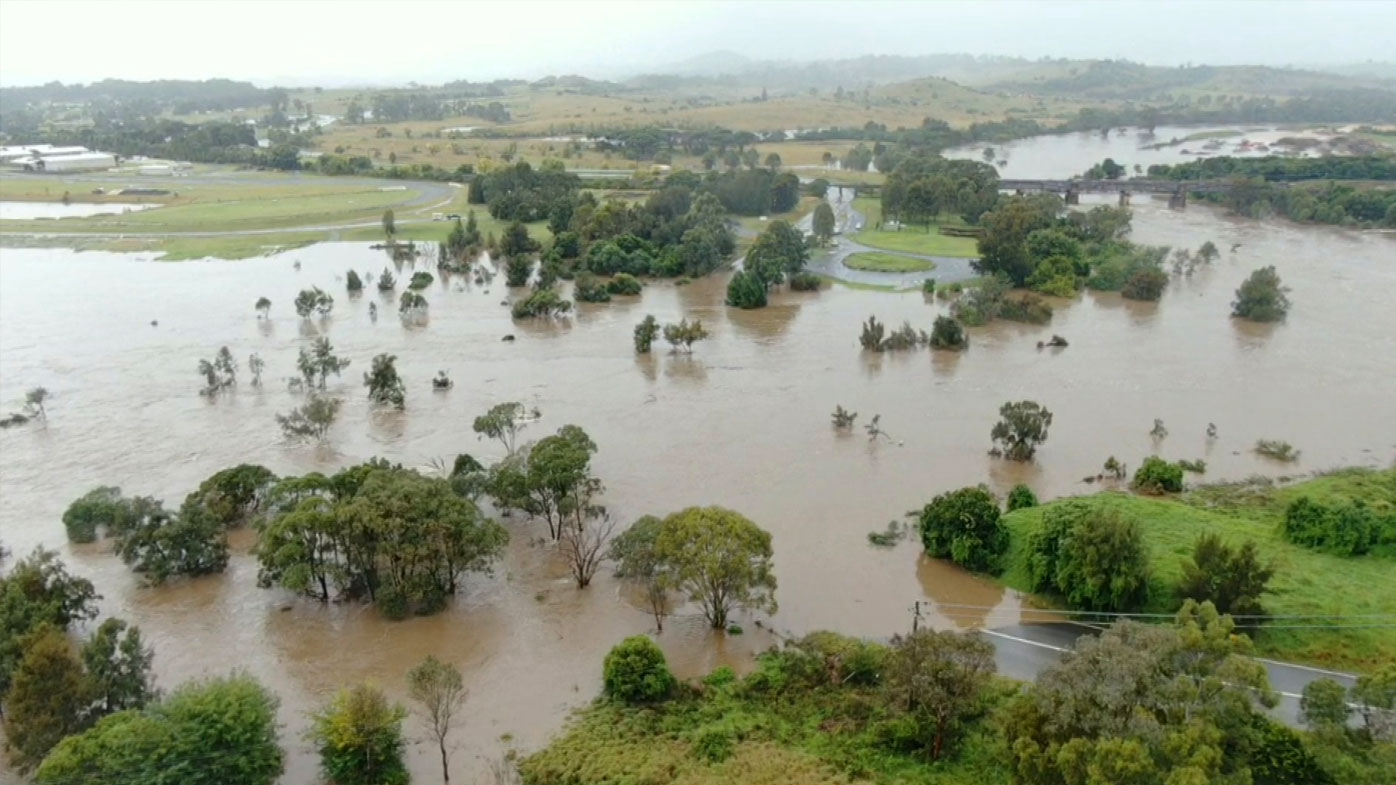
The Nepean River at Camden is expected to reach the major flood level of 13.8 metres tonight, which exceeds the peak recorded in March.
The Hawkesbury River at North Richmond may also reach major flooding early tomorrow morning due to the relentless rain.
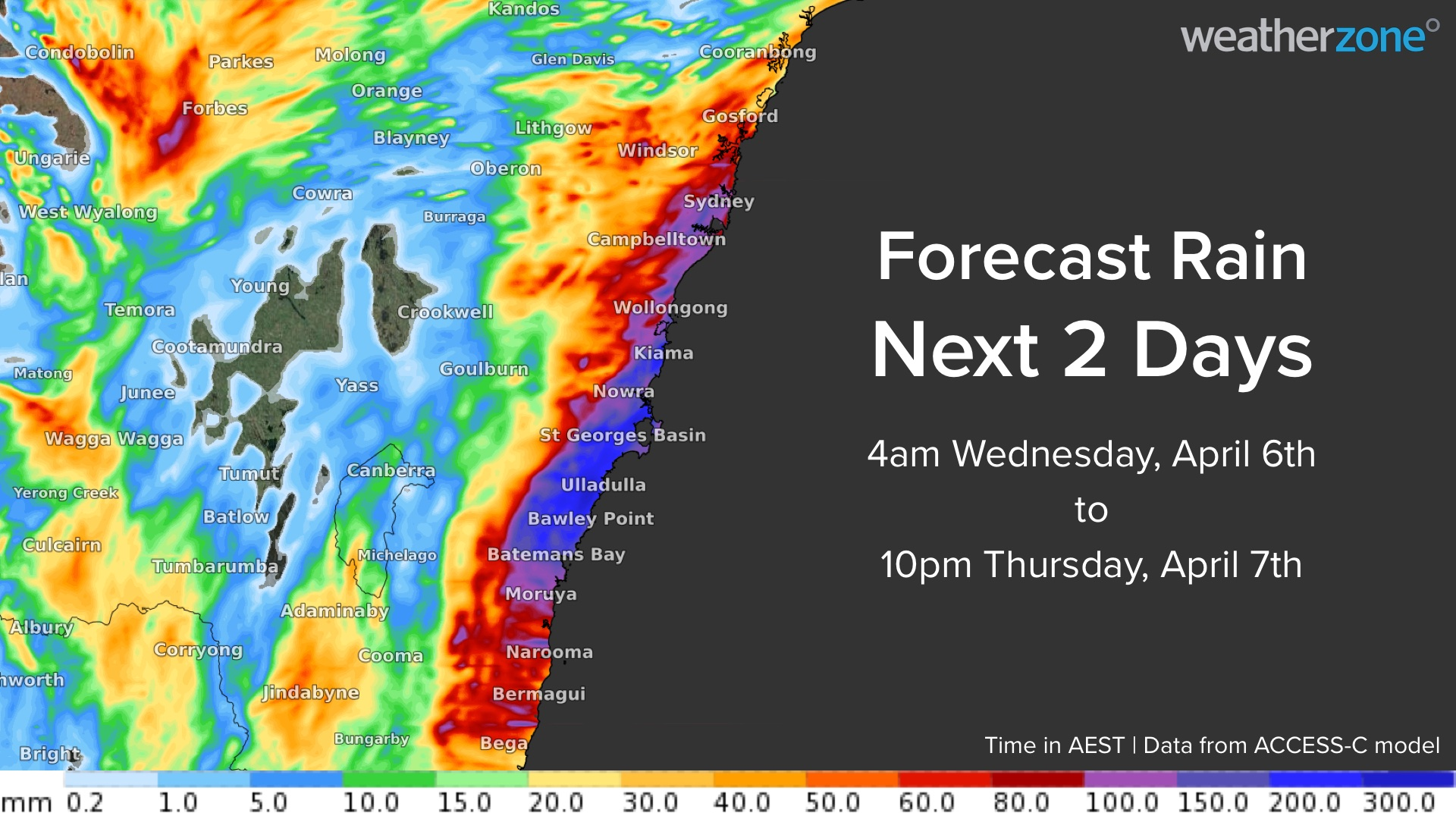
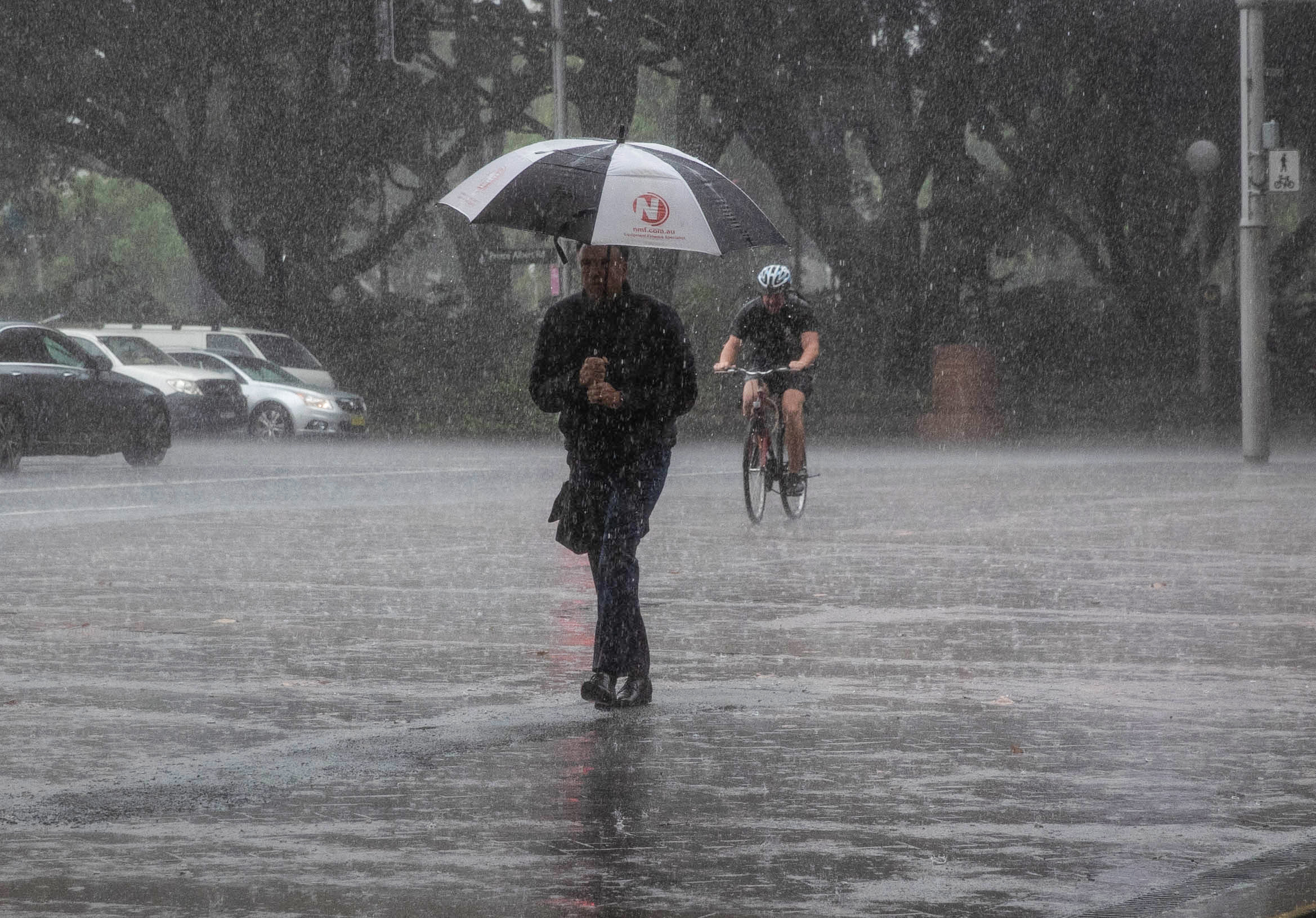
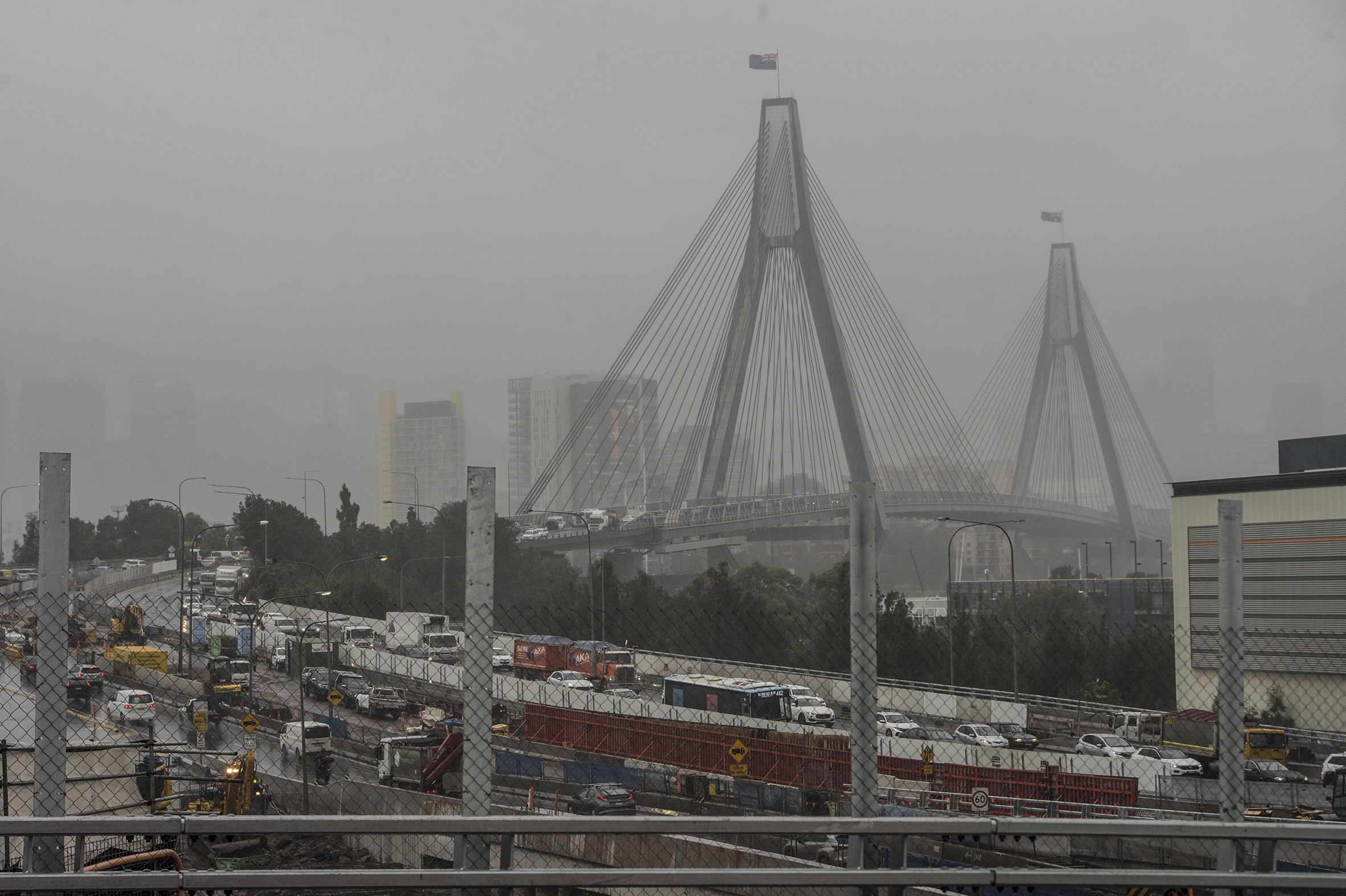
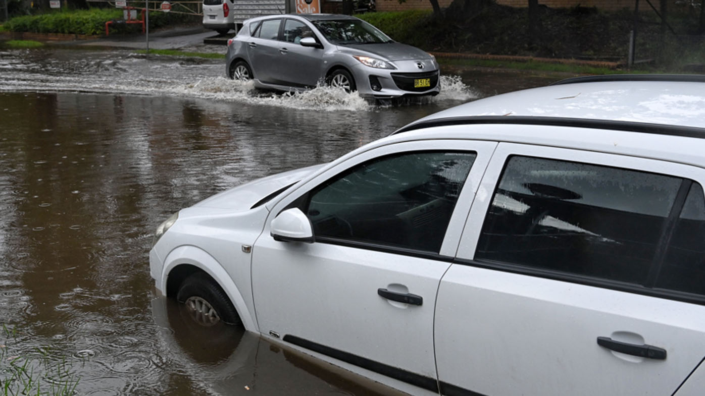
It comes after more than 100mm of rain fell on Sydney in the past 24 hours, as millions face an ongoing major weather event across New South Wales today and tomorrow.
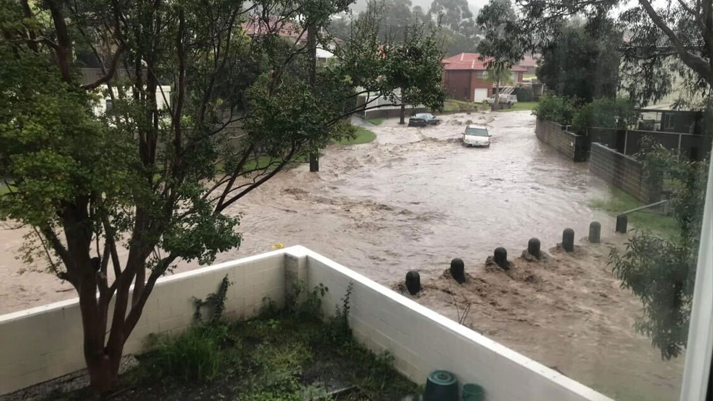
Evacuation orders have been issued for parts of Woronora and Bonnet Bay in the Sutherland Shire, as well as Chipping Norton in south-west.
People who remain in the area past 11.30am have been told it's likely they will be cut off, with the Woronora Bridge likely to be submerged at 1.7 metres.
READ MORE: Moment Perth woman ploughs through fence of home into pool
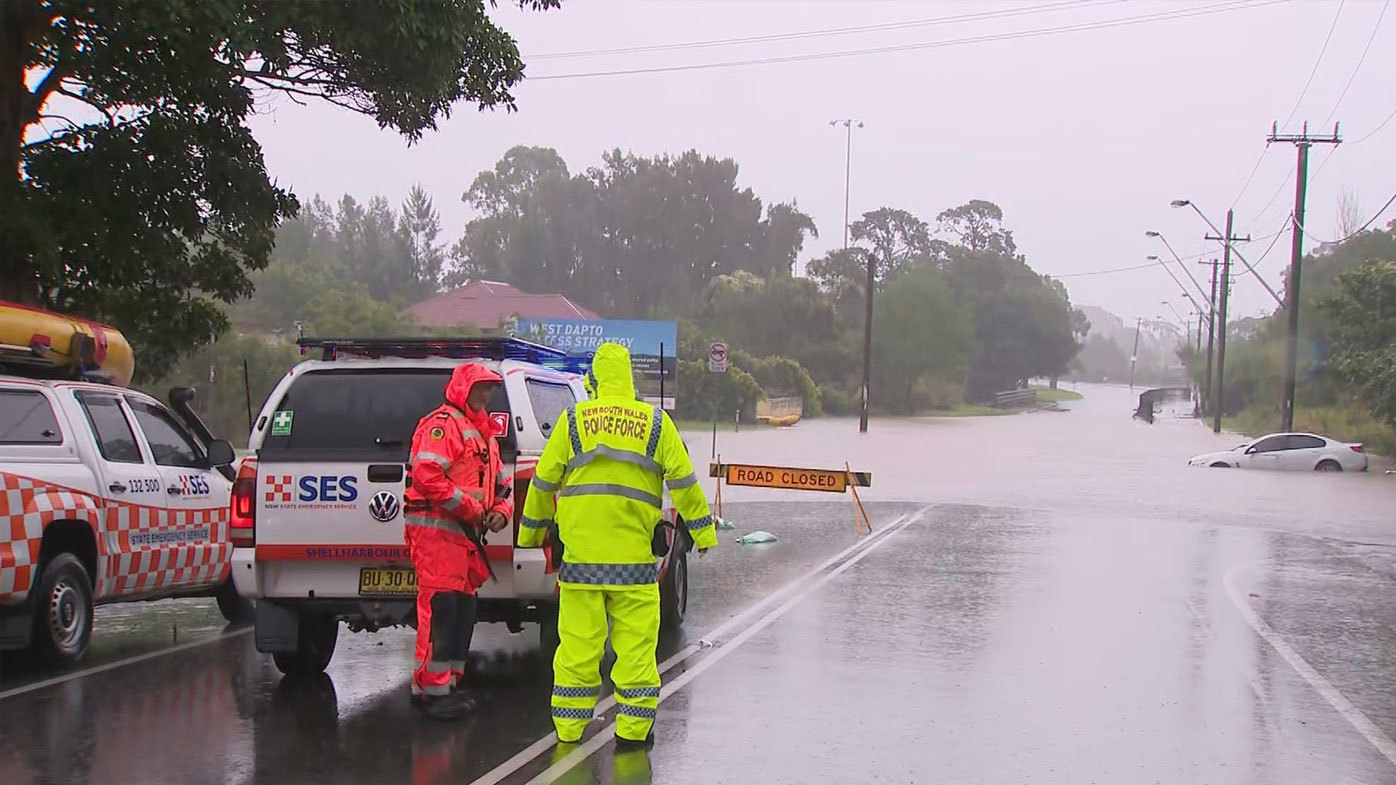
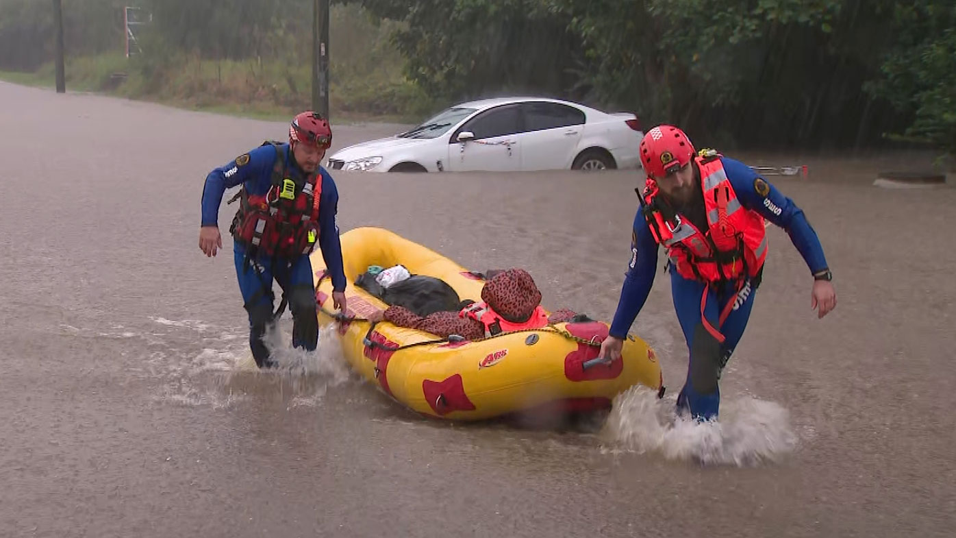
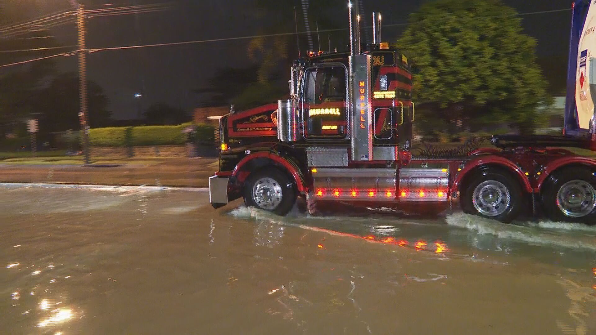
NSW State Emergency Service Acting Commissioner Daniel Austin said there have been more than 680 calls for help in Sydney, the Illawarra and the south coast.
There have also been 25 flood rescues.
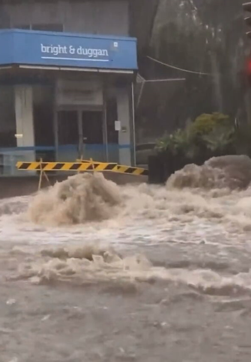
SES crews are focusing resources in the Illawarra as roads become cascading rivers due to the sudden downpour.
"The highest areas of activity, are through the likes of the Sutherland shire, down through into the Illawarra," Mr Austin said.
The streets in Corrimal, near Wollongong, have flooded with water reaching to the top of car tyres.
READ MORE: Furious punter confronts Prime Minister at NSW pub
Sydney has recorded 114mm in the space of a day, with 125mm falling at Sydney Airport.
According to the Bureau of Meteorology, the mean average of rain for April, from measurements taken between 1858 and 2020, is 126.5mm.
The latest falls have also seen Sydney surpass its annual rainfall average of 1213.4mm in just the first three months of 2022.
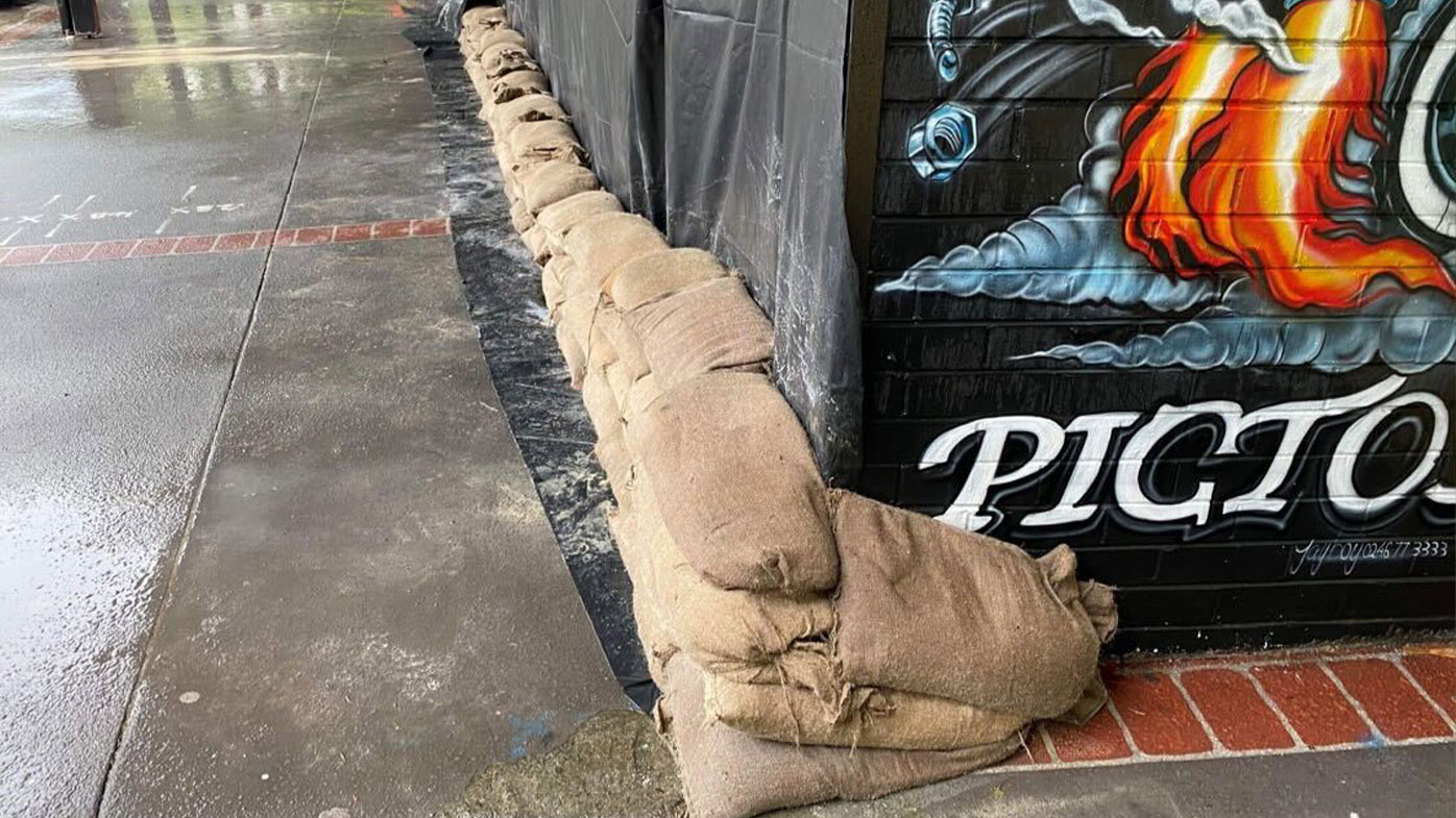
The Picton CBD is also facing an evacuation warning, with the Stonequarry Creek continuing to rise.
Residents in Picton have begun sandbagging businesses and homes as the threat of flooding looms again.
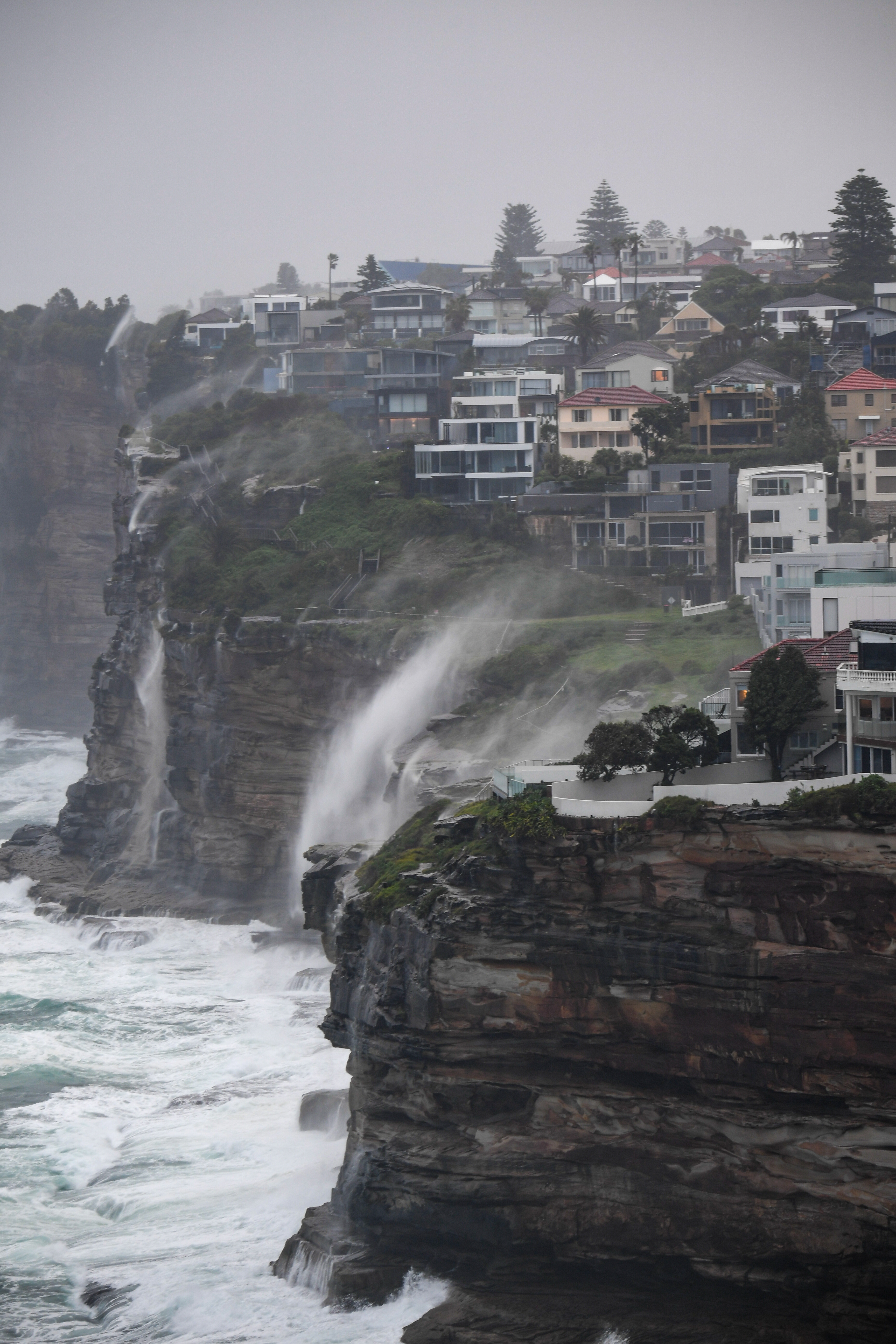
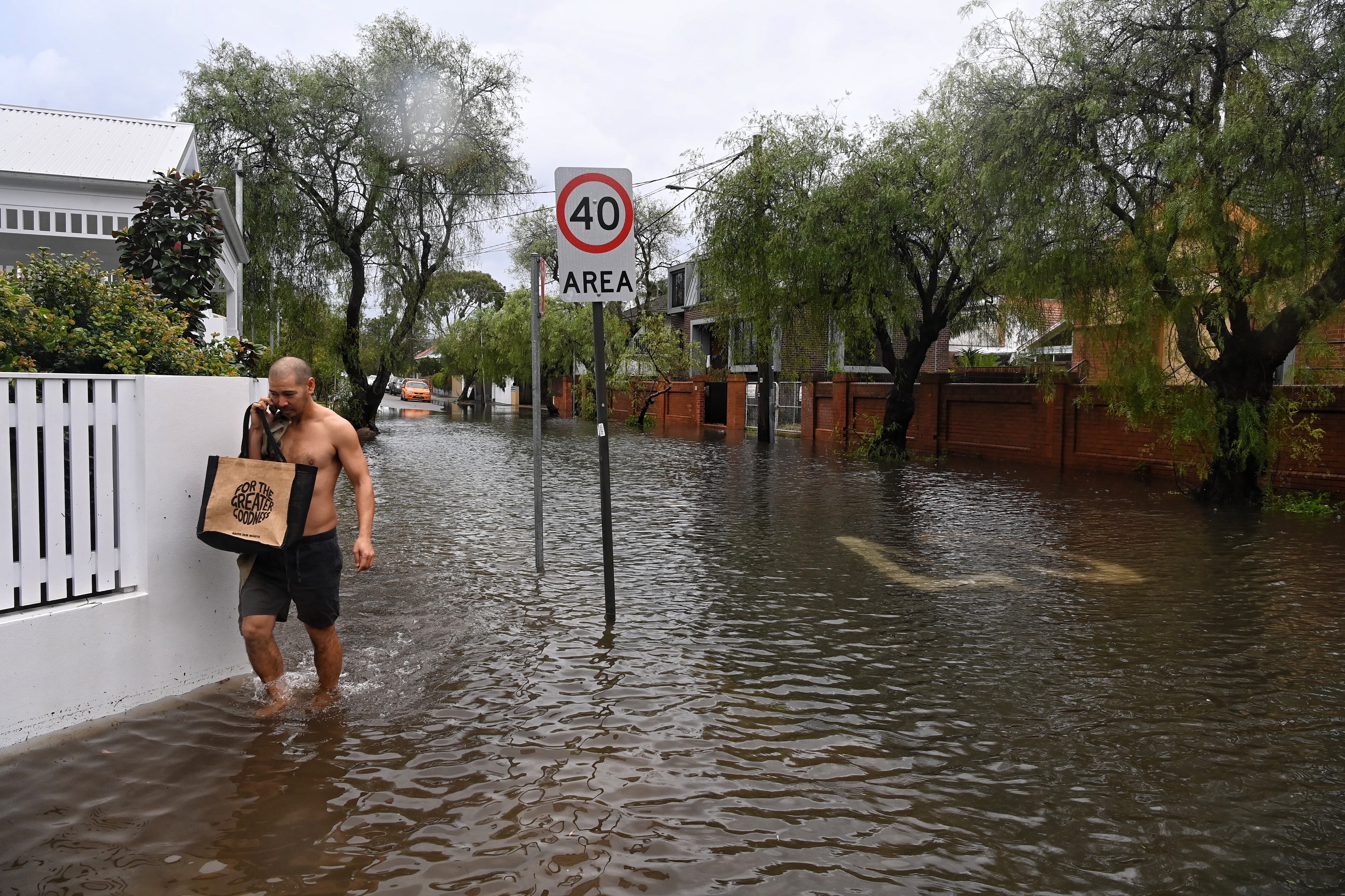
Images show inundated streets with people halfway to knee-deep in water, while strong coastal winds sent falling stormwater back up the cliffs at Dover Heights.
EXPLAINED: When is it going to stop raining?
Huge rainfall overnight
Cronulla in the Sutherland Shire was hit by 107mm of rain in just three hours overnight, the Bureau of Meteorology has said. Little Bay also recorded 107mm, but over six hours.
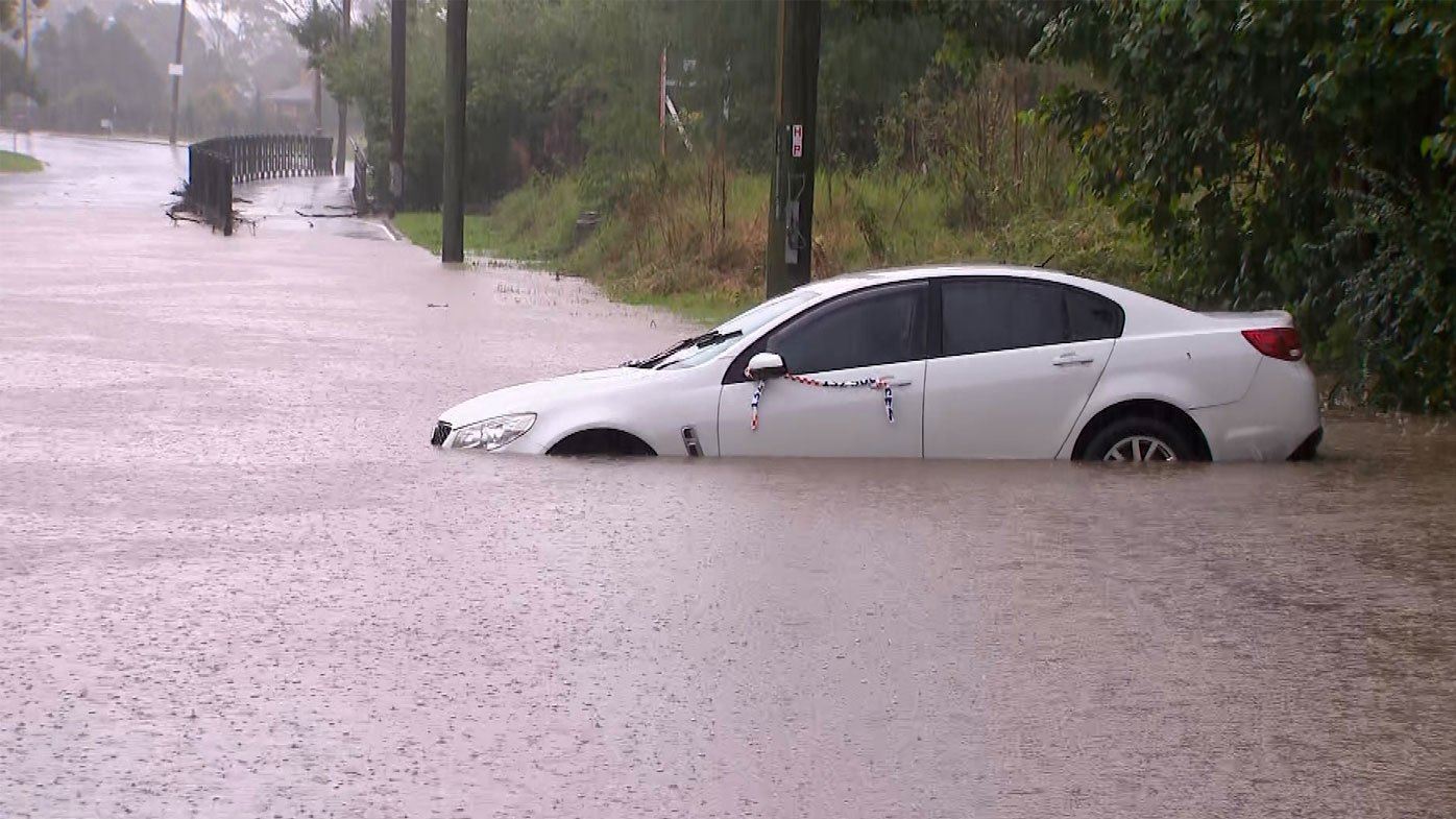
SES Assistant Commissioner Dean Storey said a lot of roads have been cut off by flash flooding.
"If you are in affected areas avoid unnecessary travel," he said.
"If you can stay home stay off the roads.
"If you have to hit the roads, never drive through flood waters."
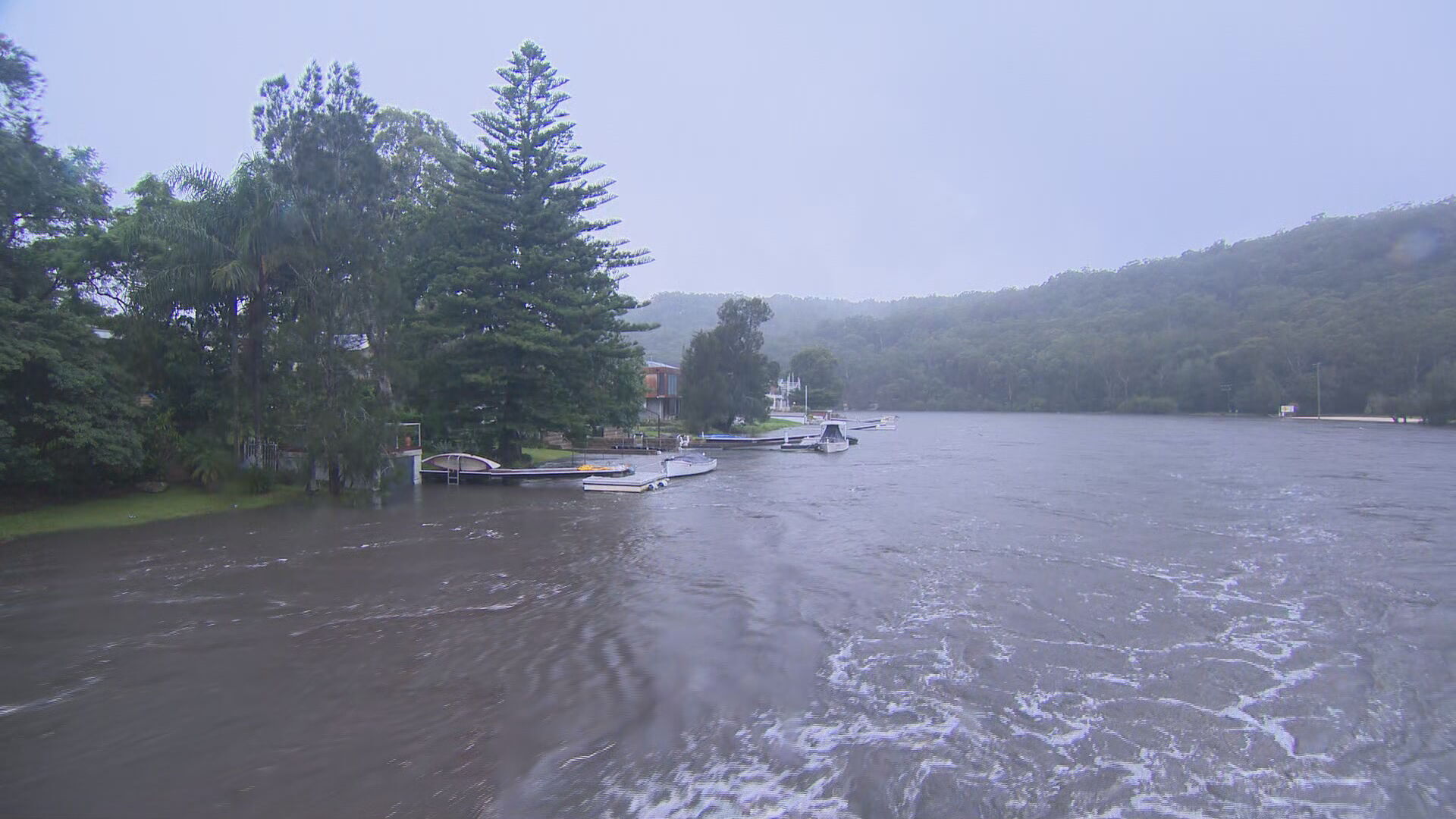
Assistant Commissioner Storey urged people in the Hawkesbury-Nepean catchment to have flood plans in place, with a minor to major flood warning issued for the area.
"We've had almost 600 requests for assistance from the community overnight, and 11 flood rescues," he said.
"We're expecting those numbers to increase unfortunately today as that rain continues.
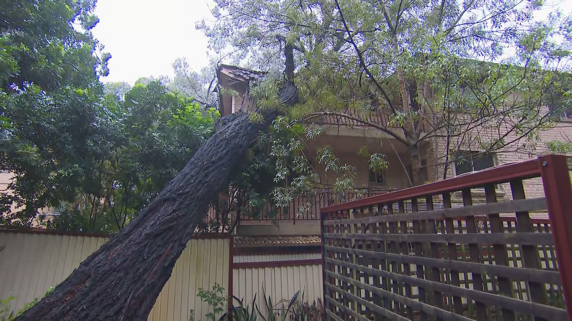
"People also wake up and find properties damaged, trees down, roads floods all those things.
"It's a very dynamic and volatile situation today in those areas."
More rain still to come
Miriam Bradbury from the Bureau of Meteorology said falls of up to 140mm in six hours were expected in some areas along the central and southern NSW coastal regions, with broader falls of between 60mm and 100mm in the same amount of time.
"We are going to see those rain rates easing off later today and going to the overnight period," she said.
"By tomorrow we should just be left with much more isolated to scattered showers.
"It's really this steady soaking rain that brings us the very high rainfall totals."
She said tomorrow and this afternoon would see a risk of severe thunderstorms in NSW's north-east.
"I mention this because it does extend over the area which has been most recently affected by severe flooding," she said.
She said while it would increase the flood risk, it would likely be due to flash flooding rather than riverine flooding.
Dams already at capacity
Almost all the dams around Sydney are full, as the intense rain continues.
Warragamba, Woronora, Avon, Cataract, Cordeaux, Tallowa and Nepean are at 100 per cent.
Blue Mountains Dams: 90.4 per cent Prospect is at 92.8 per cent, Wingecarribee Reservoir: 89.6 per cent and Fitzroy Falls Reservoir is 82.2 per cent full.
Warragamba Dam is set to spill tomorrow.
Chloe Konispoliatis, from McGraths Hill in Sydney's north-west, said she was "terrified" to see the rain return, fearing her home could be flooded for a third time in less than two years.
"We have only just started to get our life back together," she told Today.
"We managed to clean quite quickly this time around, because we, unfortunately, were impacted by the floods last year as well.
"This year we were a bit more prepared."
In the recently-ravaged Northern Rivers region, Wardell woman Rebecca Heywood is also facing another round of heavy rain, after her cottage was damaged by floods last month.
"I don't think our communities can take much more," she said.
Stay up to date with the latest weather warnings at the Bureau of Meteorology website.