South-east Queensland and north-eastern NSW will be lashed with heavy rain and storms towards the end of the week as the system that brought damaging wind and rainfall to Victoria over Easter moves north.
Wild weather wreaked havoc across Victoria overnight, with more than 500 calls for help to the SES, cars trapped underneath trees and isolated flash flooding.
The system is currently moving across NSW and will bring a few "wet and stormy" days for parts of south-east Queensland and north-eastern New South Wales, according to Bureau of Meteorology senior meteorologist Dean Narramore.
READ MORE: Victorian woman retells harrowing survival story after being swept into drain
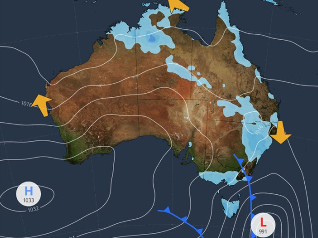
"It should mostly clear New South Wales tomorrow, but linger in south-east Queensland," he said.
"Then another system is going to come in and combine with that to reinvigorate rain and storms across south-east Queensland and north-east New South Wales on Thursday and then spread across much of New South Wales on Friday and Saturday."
He said the region could expect isolated falls in excess of 100mm with isolated flash flooding risk as well as gusty winds and possible big swells.
"If a deep low develops and sits near the coast, we could see even heavier falls and stronger winds," he said, adding that was one of many scenarios and forecasters would have a clearer picture in the coming days.
READ MORE: Aussies among cruise passengers stranded in Africa after missing ship
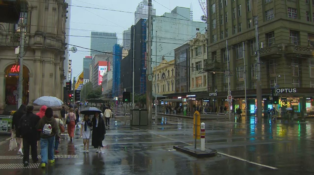
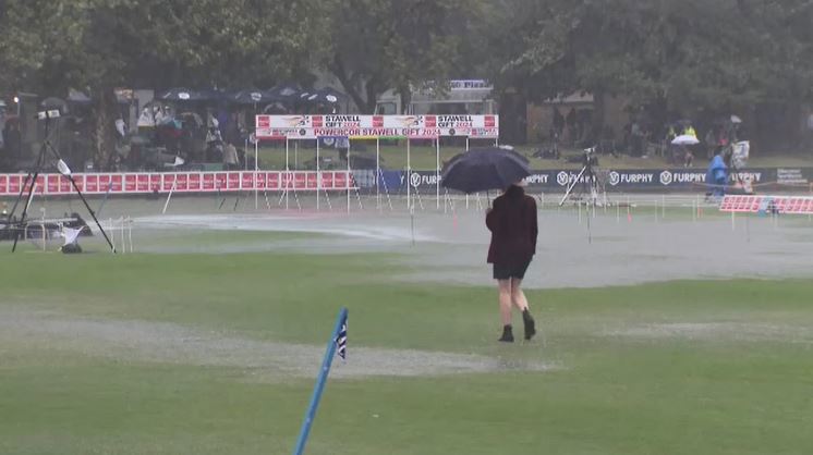
The storms are linked to a low pressure system that is now sweeping over Tasmania.
Strong wind warnings remain in place for much of Victoria, although the threat of further severe weather has passed, the Bureau of Meteorology said.
Damaging wind gusts of up to 90km/h are expected across parts of regional Victoria and Melbourne from this evening.
Areas in the Central Coast, Gippsland, Port Phillip, Western Port and the Western Coast are expected to be impacted.
Sheep graziers in Gippsland have also been warned over rain and cold temperatures that could harm their flocks.