Winter is just about upon us, but that doesn't necessarily mean temperatures are about to start plummeting – although you might have to reach for an umbrella.
The Bureau of Meteorology is expecting the next three months to be unusually warm, even as the possibility of yet another La Niña rears its head.
This is what weather we're likely to get as winter gets underway.
EXPLAINED: Turbulence X-factor airlines can't always see

Temperature
It might not be the winter to splash out on a new coat.
In its latest long-range forecast, the BoM said Australia has a more than 80 per cent chance of recording one of the warmest winters in recent memory.
"Forecast June to August maximum and minimum temperatures are very likely to be above average for Australia," it wrote.
"For June to August, all of Australia has an increased likelihood of unusually high maximum temperatures, for this time of year.
READ MORE: Australia now has national digital ID laws. This is what that means
"There is also an increased chance of unusually warm minimum temperatures, with large areas of the country very likely (greater than 80% chance) to have unusually warm minimum temperatures."
The BoM considers the warmest 20 per cent of temperatures recorded between 1981 and 2018 to be "unusually high".
As for average temperatures, they vary from place to place, and from month to month.
Sydney, for example, typically gets up to a maximum of between 17-19 degrees with minimums of around 9 during winter, while Melbourne's average maximums don't breach 15 degrees and its minimums get as low as 5.5 degrees in July.
If the long-range forecast is on the mark, we can expect all of those figures to be exceeded this year.
READ MORE: Relief after judge 'threw the book' at bodybuilder over 'frenzied' murder
Rain
Just because we're set for unusually warm winter days doesn't mean they're going to be bathed in sunshine – although it depends on where exactly you live.
Large parts of the country, including inland New South Wales and South Australia and south-west Queensland, have a 60-80 per cent chance of above-average rainfall over the next three months.
Others are set for more typical seasonal rainfall, which is set to bring belief to parts of Western Australia that have gone through an unusually dry spell.
READ MORE: Australia now on La Niña watch
"Some of the more populated southern regions of the country, including southwest Western Australia, southeast South Australia, Victoria and Tasmania, are likely to see rainfall that is typical for the June to August period," the BoM wrote.
As for eastern Australia, the outlook isn't particularly clear.
While the Bureau has declared a La Niña watch, that doesn't guarantee that weather event and the heavy rain that it typically brings will eventuate – only that there's a 50-50 chance of it happening.
READ MORE: Australia an island of cold weather amid Earth's record hot streak
While some parts of the east coast are expected to get above-average rainfall, most of it could go either way.
"There are roughly equal chances of above or below median rainfall for most of eastern Australia, including much of Queensland, New South Wales, Victoria and Tasmania," Bureau of Meteorology Climate Manager Dr Karl Braganza said.
READ MORE: As a teen, Charles was given infected blood from a heroin user
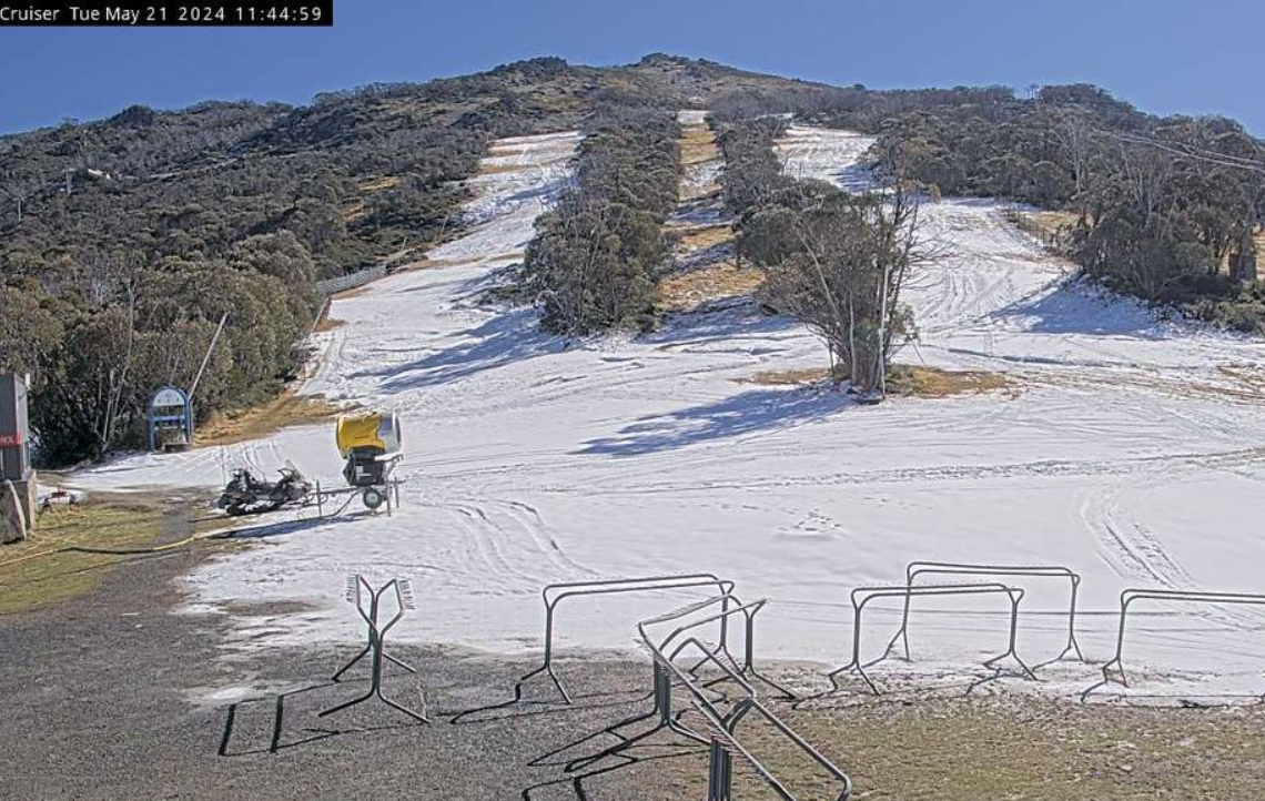
Snow
The snow season isn't far off from officially starting (it kicks off on the June long weekend), but predicting how much is going to fall is a "tricky" and "notoriously fickle" game, according to the BoM.
Unlike rain and temperatures, it doesn't include snowfall in its long-range forecasts because of how unpredictable it is. Yearly averages can be heavily influenced by single, short events.
What we do know is that different climate drivers have an impact on Australia's snowfall.
READ MORE: 'It's painful': The suburb where Australia Post refuses to deliver large parcels
Both La Niña and El Niño aren't typically great news for anyone wanting to hit the slopes – El Niño because of its high temperatures and low precipitation, La Niña because warmer recent temperatures mean its extra precipitation tends to now come in the form of rain, not snow.
The El Niño-Southern Oscillation index is currently in neutral, but there's a 50 per cent chance it'll develop into a La Niña later in the year.
The Indian Ocean Dipole (IOD) can also play a role, with the BoM saying that "snow depths are generally higher than average during years with a negative IOD".
A repeat on that front looks highly unlikely this year – the IOD only recently came back into neutral after being positive for almost two months, and could soon bounce back.
READ MORE: Ski resorts having to make their own snow as season nears
"Bureau modelling suggests positive IOD conditions in May and into winter," the BoM wrote in its latest climate driver update on May 14, while noting that forecasting IOD movements at this time of year isn't particularly accurate.
Then there's the Southern Annular Mode (SAM), where a negative reading tends to be associated with higher snowfall as cold fronts and low pressure systems move further north than normal.
At the moment, it's sitting in neutral, and "is expected to remain neutral or become positive in the coming fortnight", according to the BoM, although it's worth noting it's only forecasted two to three weeks in advance.