A person on board a small plane with broken landing gear has touched down safely at Masterton Airport. Emergency services were alerted to a plane having difficulty landing at 3.30pm. A police spokeswoman said a small plane with…
Tag Archives: oceania
Russia invades Ukraine: New Zealander in Kyiv describes shelling, as Putin begins invasion
New Zealand’s honorary consul to Ukraine Mark Wright said he can hear “deep booms” of war from his place in Kyiv.In an interview with the Ministry of Foreign Affairs and Trade in New Zealand, released to the media, Wright described…
More restrictions brought in as WA's daily COVID-19 case tally tips over 1000
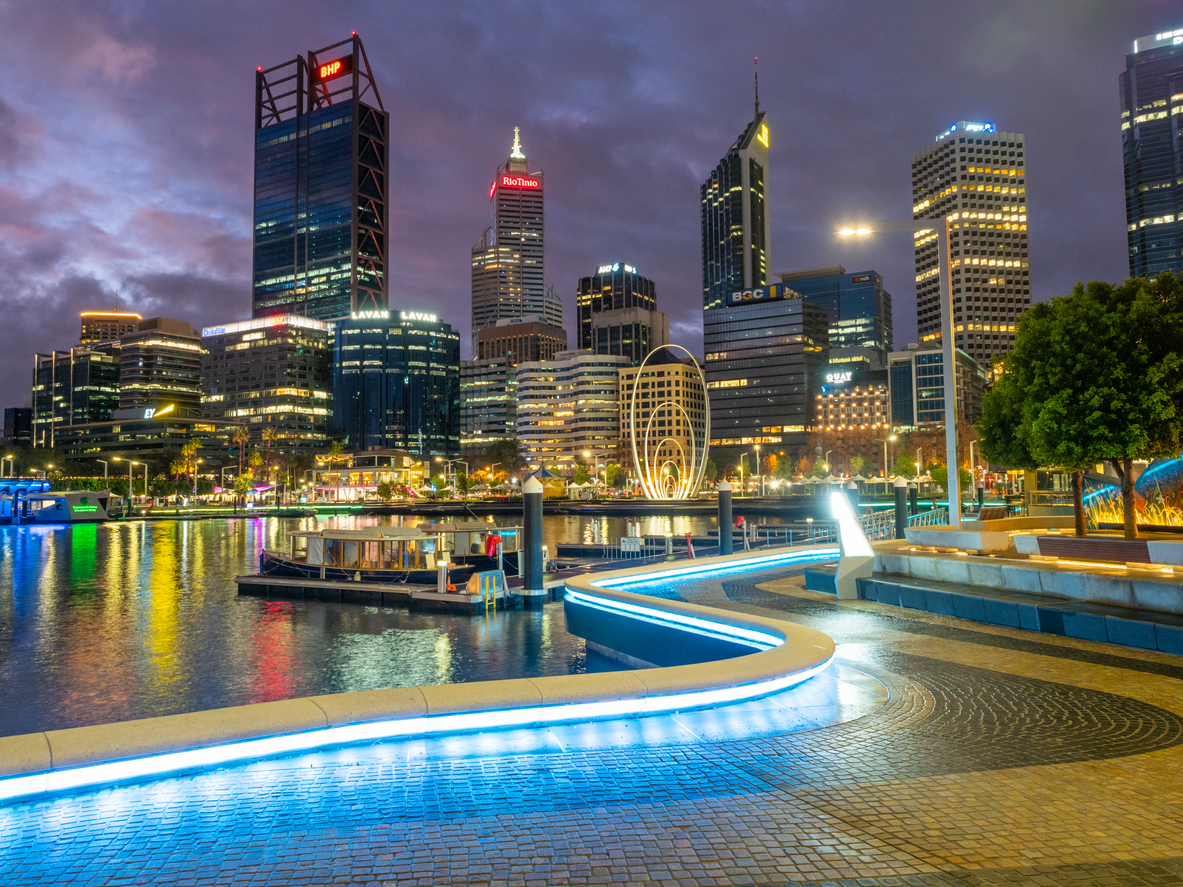
Western Australia's COVID-19 restrictions are set to apply to the whole of the state after its daily number of new COVID-19 cases passed 1000 for the first time.
A total of 1039 local cases were recorded in the state in the 24 hours to 8pm yesterday, as were four travel-related cases.
Premier Mark McGowan has also advised that the figure reported yesterday – 617 new cases – should actually have been 732 new cases.
READ MORE: WA Government announces $67m for business support
There are a total of 3038 known active cases in the state, while hospitalisations of people with COVID-19 have risen to 12.
Mr McGowan has urged Western Australians to be alert but not alarmed.
"I want to stress this is not a cause for panic," he said.
"But it is a reminder to take the virus seriously."
He announced the government's level one COVID-19 restrictions will come into effect from 6am tomorrow in the Kimberley, and into effect in the remainder of the state on Monday.
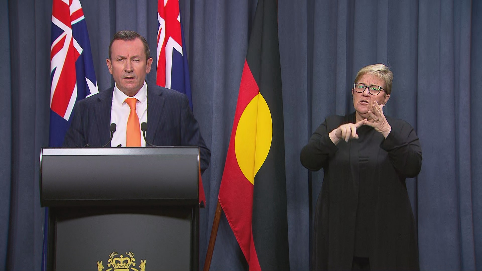
The restrictions are already in place in Perth, Peel and the south-west, the Great Southern, Wheatbelt and Pilbara regions.
The restrictions include a two-square-metre density limit for many venues, including casinos, pubs, clubs, restaurants, hairdressers and gyms.
There is also a 75 per cent capacity limit at cinemas, theatres and stadiums.
Nightclub crowds will be capped at 500.
https://www.facebook.com/photo?fbid=507118804110303&set=a.263657845123068
Residents will only be able to have 30 people inside their home but 200 will be permitted at private outdoor gatherings, as long as there are two-square-metres per person at the venue.
Yesterday Mr McGowan announced a new $67 million in business support for those affected by COVID-19.
Napier jury finds man guilty of sexually abusing teenage daughter
A jury has entered 25 guilty verdicts in the case of a Napier man who physically and sexually abused his teenage daughter over a period of months. Judge Russell Collins remanded the man in custody until April 8 for sentencing.He…
Local Focus: Masterton biker's move to mobility scooter
It may not be a Harley Davidson, but 60-year-old Masterton man Jamie Chapman’s wheels have been life-changing. “I should have died on the road, but I didn’t,” Chapman says.In 2004, Jamie narrowly avoided death when he crashed…
Multiple flood rescues in Queensland as rapidly rising waters trap drivers
Authorities are urging motorists not to drive through floodwaters, as Queensland emergency services remain run off their feet rescuing people caught up in the flooding chaos.
A couple who were taking a break on their road trip through the Sunshine Coast's Nambour region have narrowly escaped what could have been a disaster.
The pair woke from a five-hour rest to find their van submerged in rising floodwater.
LIVE UPDATES: UK bans Russian airline
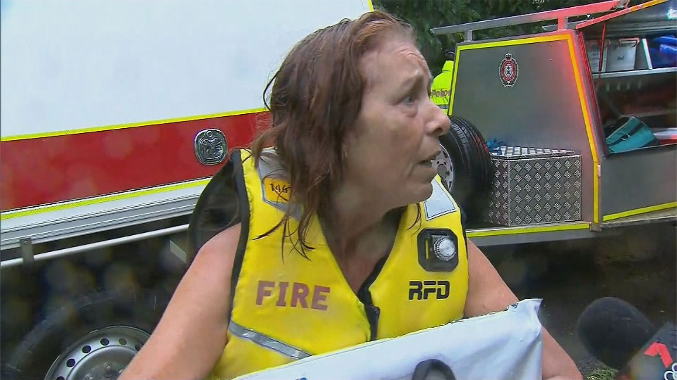
"There was literally one puddle, sweetie, one puddle," one of the van's occupants told 9News.
"We thought fine, went up, parked.
"Five hours later, we woke up to keep going – water everywhere.
"Look at it."
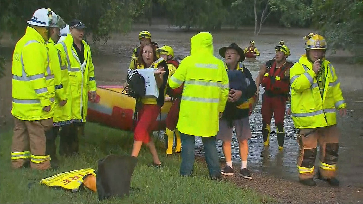
The couple was rescued by emergency services and no one was hurt.
https://twitter.com/JoshBavas/status/1496958381944233986?ref_src=twsrc%5Etfw
The Queensland Fire and Emergency Service (QFES) has attended more than 30 swiftwater rescues over the last 24 hours as heavy rain lashes the state.
Deputy Commissioner of QFES Mark Roche said people shouldn't underestimate the strength of floodwaters.
"This is a serious event. A life-threatening event," Mr Roche said at a press conference.
"We're actually seeing footage of people driving into floodwaters."
READ MORE: Ukrainian men barred from leaving country
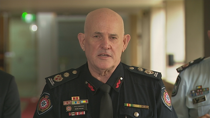
Mr Roche said this was "disappointing", urging residents to avoid unnecessary travel.
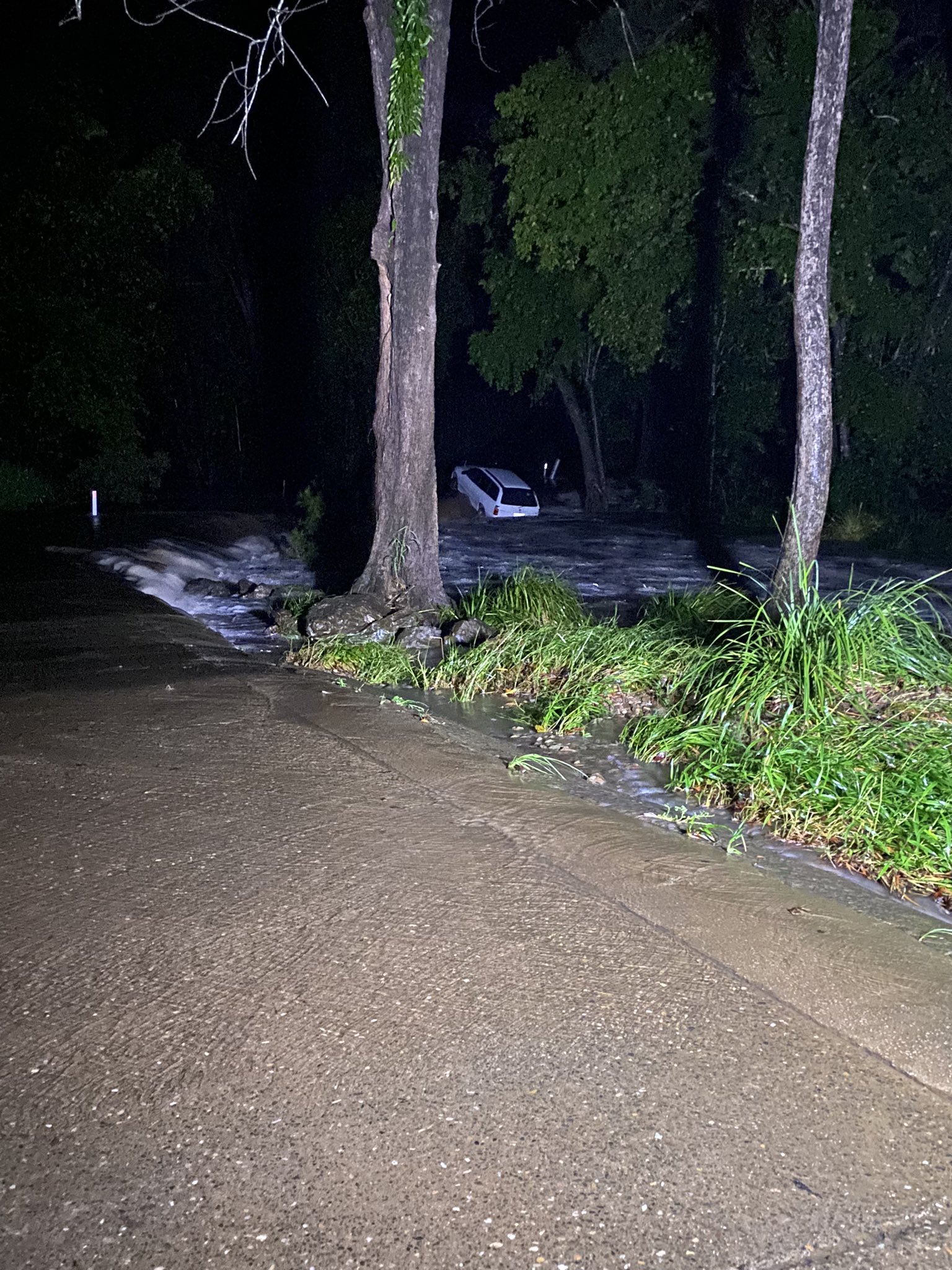
One driver made a lucky escape after driving through floodwaters at Rocksberg near Caboolture.
Sharing a photo of a white car partially submerged a witness wrote: "Very lucky escape for the driver of this car after it slid into a creek near Caboolture.
It's understood the driver called emergency services but managed to free himself from the vehicle.
READ MORE: Cyclone watch issued for Northern Territory
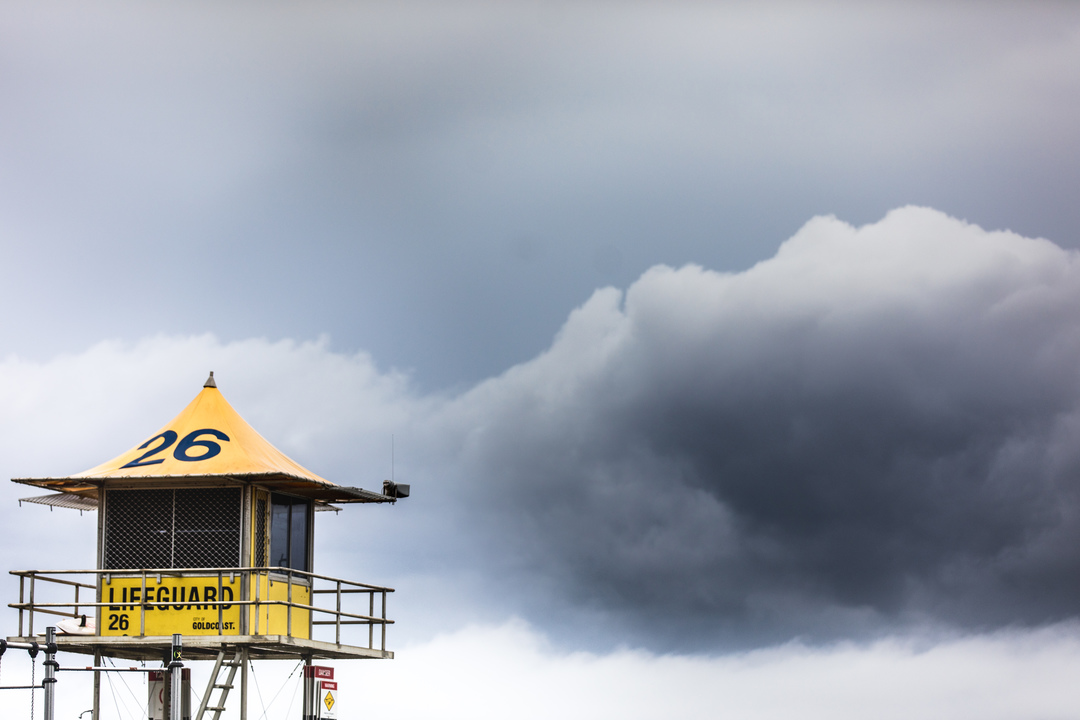
The extreme weather event has forced the closures of all beaches on the Gold Coast.
The City of Gold Coast announced the closures on social media, writing: "All Gold Coast beaches are closed today due to the unstable conditions close to shore, with strong currents and rips making it dangerous for swimmers."
https://twitter.com/BronteGildea/status/1497041220040015872?ref_src=twsrc%5Etfw
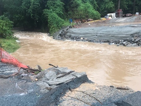
The Bureau of Meteorology (BoM) issued several warnings for life-threatening storms and flash floods for people in Yandina, Conondale and Nambour.
"Intense rainfall that may lead to dangerous and life-threatening flash flooding is likely," BoM warned.
READ MORE: Reporter comes to face to face with Russian troops
https://twitter.com/BOM_Qld/status/1496990701527212036
It comes hours after BoM issued a storm warning for people in parts of Gympie, Somerset, Sunshine Coast and Noosa Council Areas.
"These thunderstorms are slow moving. Very dangerous thunderstorms are forecast," it warned.
Heavy rainfall totals have been recorded over the past 24 hours as severe weather impacted the south-east.
"The highest total was 463mm at Old Range Road," the BoM said.
Cooran recorded 133mm in two hours to 6.15am.
READ MORE: Biden reveals more sanctions
Pomona recorded 106mm in the one hour to 7.30am.
BoM forecasts predict the rain will start to ease from tomorrow.
A large part of Queensland stretching from the north of Bundaberg to the south of Brisbane is bracing for more torrential rain.
Severe weather and storms warnings are in place for parts of Wide Bay and Burnett, Southeast Coast and parts of Darling Downs and Granite Belt Forecast Districts.
READ MORE: Cyclone watch issued for Northern Territory
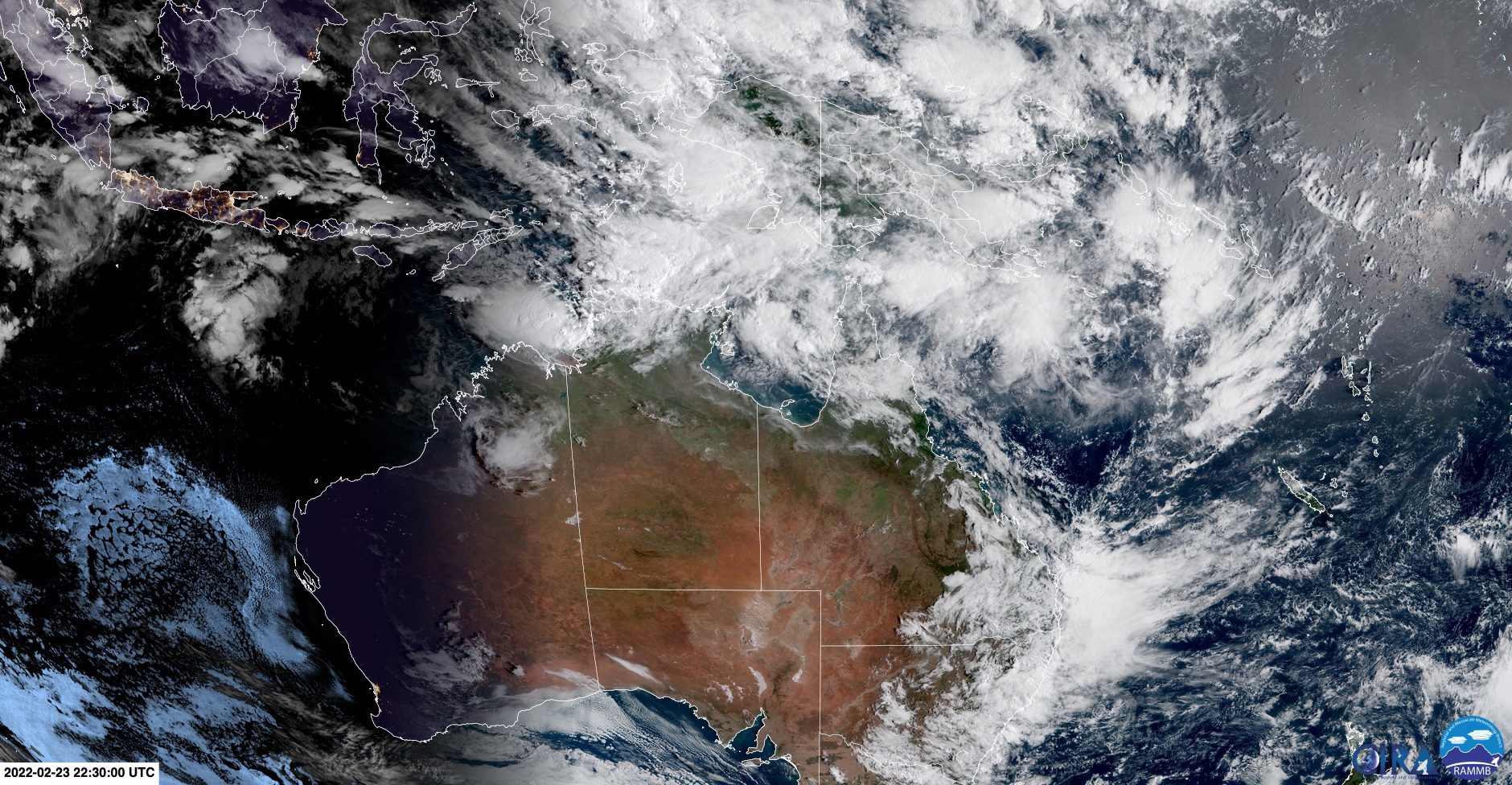
"Heavy rainfall which may lead to flash flooding is forecast to continue over parts of Southeast Queensland today and potentially through Saturday morning," the BoM wrote.
"Six-hourly rainfall totals between 80 and 120 mm are likely, reaching up to 180 mm over areas east of Gympie to Jimboomba.
"Locally intense rainfall leading to dangerous and life-threatening flash flooding is possible with thunderstorms during this period, particularly over areas north of Brisbane.
"Six-hourly rainfall totals in excess of 300 mm are possible."
A number of flood watches are in place across the state with Eyre Creek, Georgina River the lower Burnett River, Stuart and Boyne Rivers, Mary River, Tinana and Six Mile creeks, the Paroo River and the Stanley River of the most concern.
Amid the threat, there are fears Gympie could be split in two.
READ MORE: 'The worst sunrise in my life': Ukrainians wake to attack
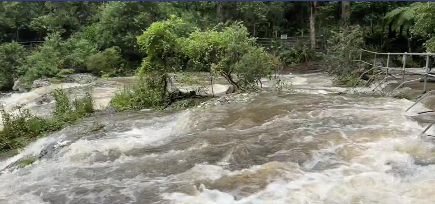
The area has been hard hit with rain, receiving the state's highest rainfall total – Mt Wolvi, near Gympie, recorded 425mm of rain in the 24 hours to 9am on Wednesday.
The second death of the flood emergency was also recorded.
The body of missing motor cyclist Phil Lambert, 54, was discovered at Cedar Pocket, in the Gympie Region.
It's believed the father of three hadn't seen the rising floods when driving through the area on Wednesday morning and was hit by a torrent of rushing water.
It comes after the body of woman was found in her submerged vehicle at Belli Park, Sunshine Coast.
Cyclone warning issued for Northern Territory
A cyclone warning has been issued for the Northern Territory from south of Dundee through to the WA border, including Wadeye.
The cyclone warning also extends to the Mitchell Plateau in WA including Wyndham and Kalumburu.
A tropical low is located in the Timor Sea, about 330 kilometres west of Darwin.
READ MORE: The economic impacts of Russia invading Ukraine on Australia
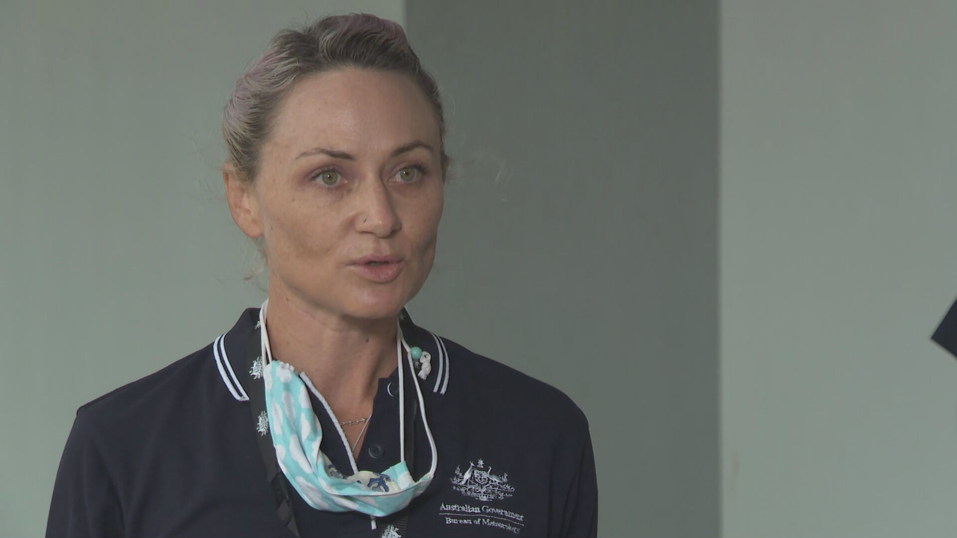
"The system is expected to develop into a tropical cyclone tonight or early tomorrow morning and head south closer to the coast," Shannon Gamble from the Bureau of Meteorology said.
"While the current track takes the system further towards the Kimberley Coast, there remains the possibility that the system could move to the east to the Top End."
https://twitter.com/BOM_NT/status/1497068342313910272
READ MORE: These two women suddenly started speaking in Irish accents
The Bureau of Meteorology said communities within the warning area can expect to experience gales with gusts of up 100km/h from tonight.
A cyclone watch remains in place for the Northern Territory from Point Stuart around to the Western Australian border, including the Tiwi Islands, Darwin and across the Kimberley Coast in WA.
"This large watch area reflects the area of uncertainty around the possible tracks that this system could take," Ms Gamble said.
Communities within the watch area should monitor conditions and stay informed via the Bureau of Meteorology and via Secure NT.
Jail term for Wairoa robber who took ute with elderly man clinging to bonnet
A 19-year-old attempting to steal a man’s utility vehicle resulted in its 71-year-old owner hanging on the bonnet and breaking his leg in three places.Usher Wairama was on Friday jailed for two years and eight months when he appeared…
Akash murder trial: Psychiatrists on defendant's insanity/mental health – court hears opposing opinions
In the hours and days after schizophrenic security guard Akash stabbed his girlfriend to death, evidence suggests he dumped Gurpreet Kaur’s body in a remote area of South Auckland, he tried to hide bloodstains on his clothes, and…
Covid 19 Omicron outbreak: MPs, Parliament adopt remote working / hybrid working
MPs will be able to work remotely under new Parliament rules as Omicron runs rampant across the country. Speaker of the House Trevor Mallard said Parliament would operate hybrid sittings, allowing MPs to work remotely from March…