Tropical Cyclone Kimi weakened to a category one storm overnight as the likelihood of it reaching land diminished.
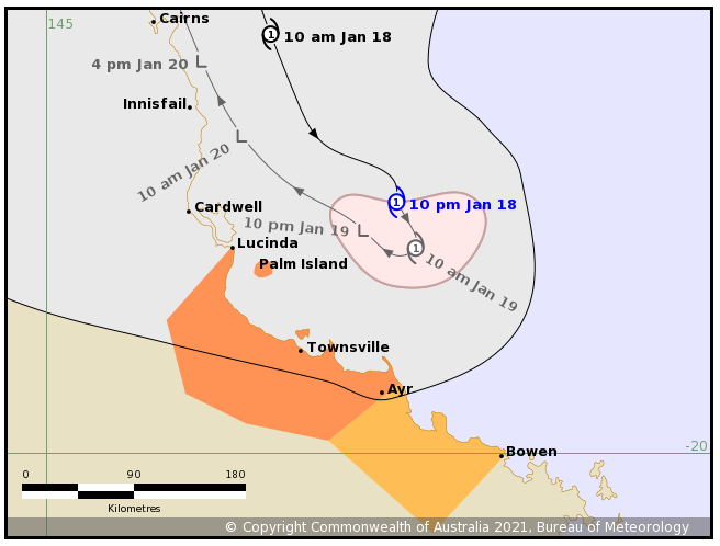
As the cyclone moves southeastward, parallel to the Queensland coast, it is expected to continue to slow before making a U-turn somewhere between Hinchinbrook Island and Townsville about 10am today.
"Further weakening is likely as it stalls off the coast on Tuesday," the Bureau of Meteorology said in a statement last night.
https://twitter.com/BOM_Qld/status/1351161402346639360
"The system's movement has been erratic, however, due to its recent movement towards the south-southeast, a coastal crossing between Hinchinbrook Island and Townsville tonight or early tomorrow is now unlikely."
The BoM says in the coming days Kimi is expected to track back towards the north of the state as a weak tropical low.
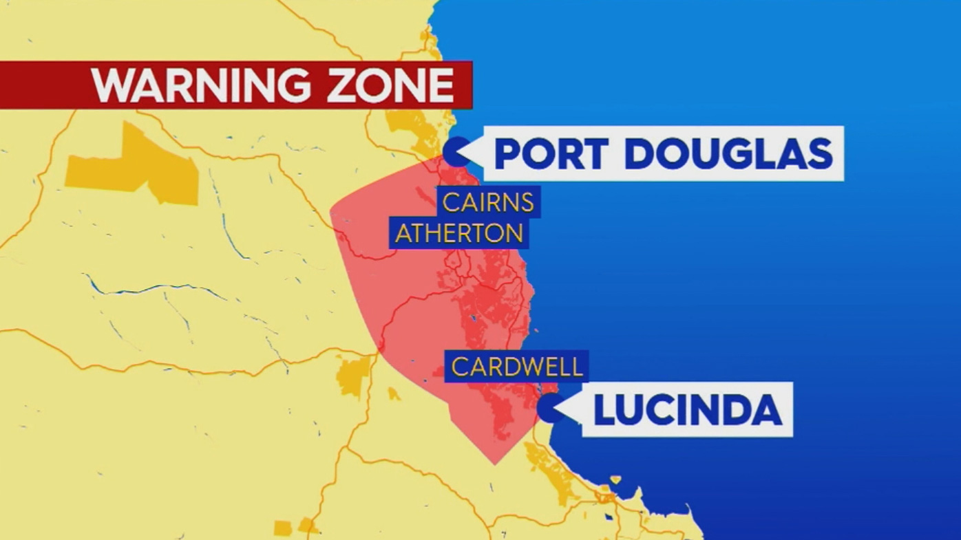
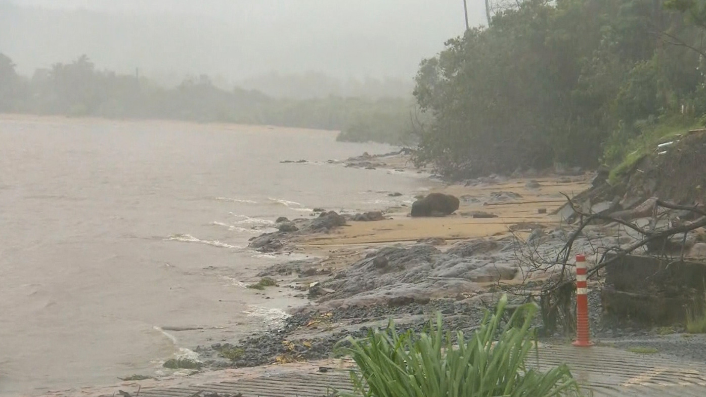
While the cyclone is unlikely to cross the coast, hundreds of thousands of people from Innisfail to Bowen remain on high alert, warned to prepare for gale force winds, heavy rainfall and abnormally high tides.
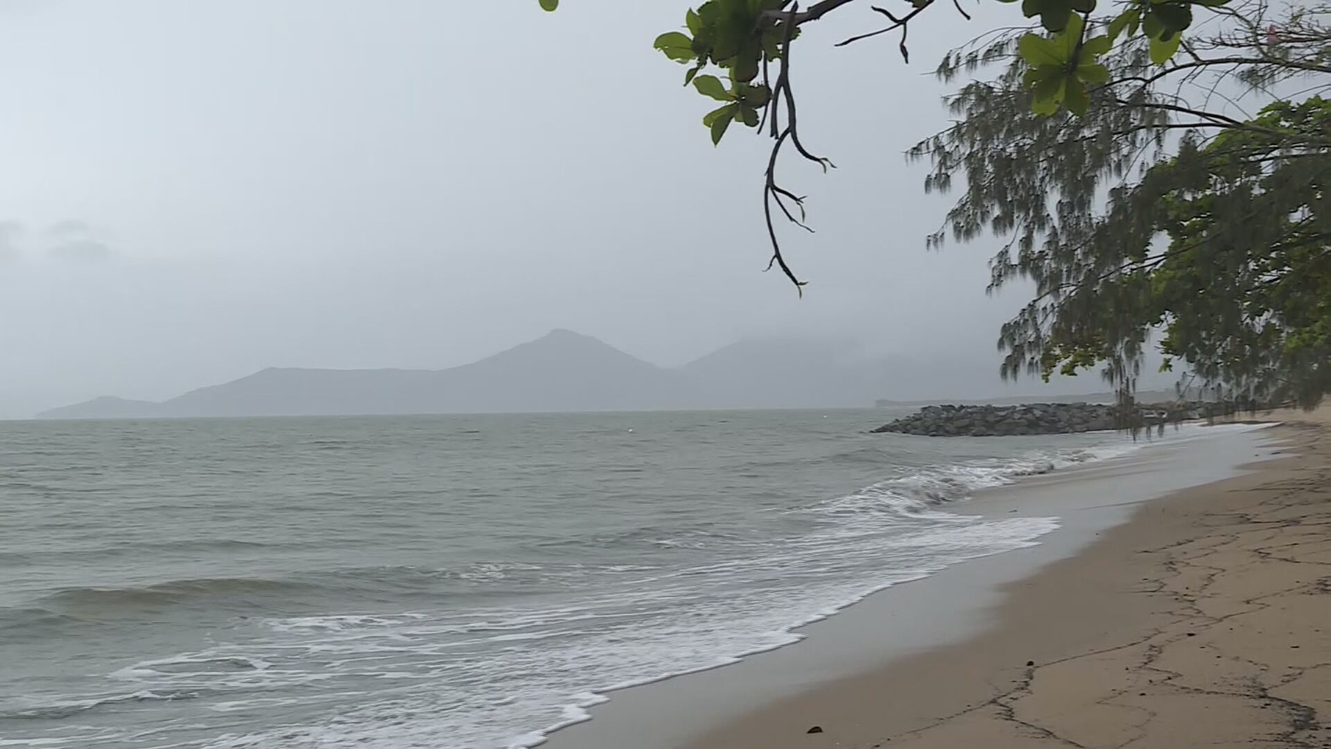
Gusts up to 130km/h are still possible about coastal and island communities between Innisfail and Ayr tonight and Tuesday, the BoM says.
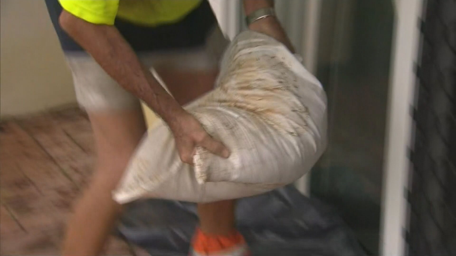
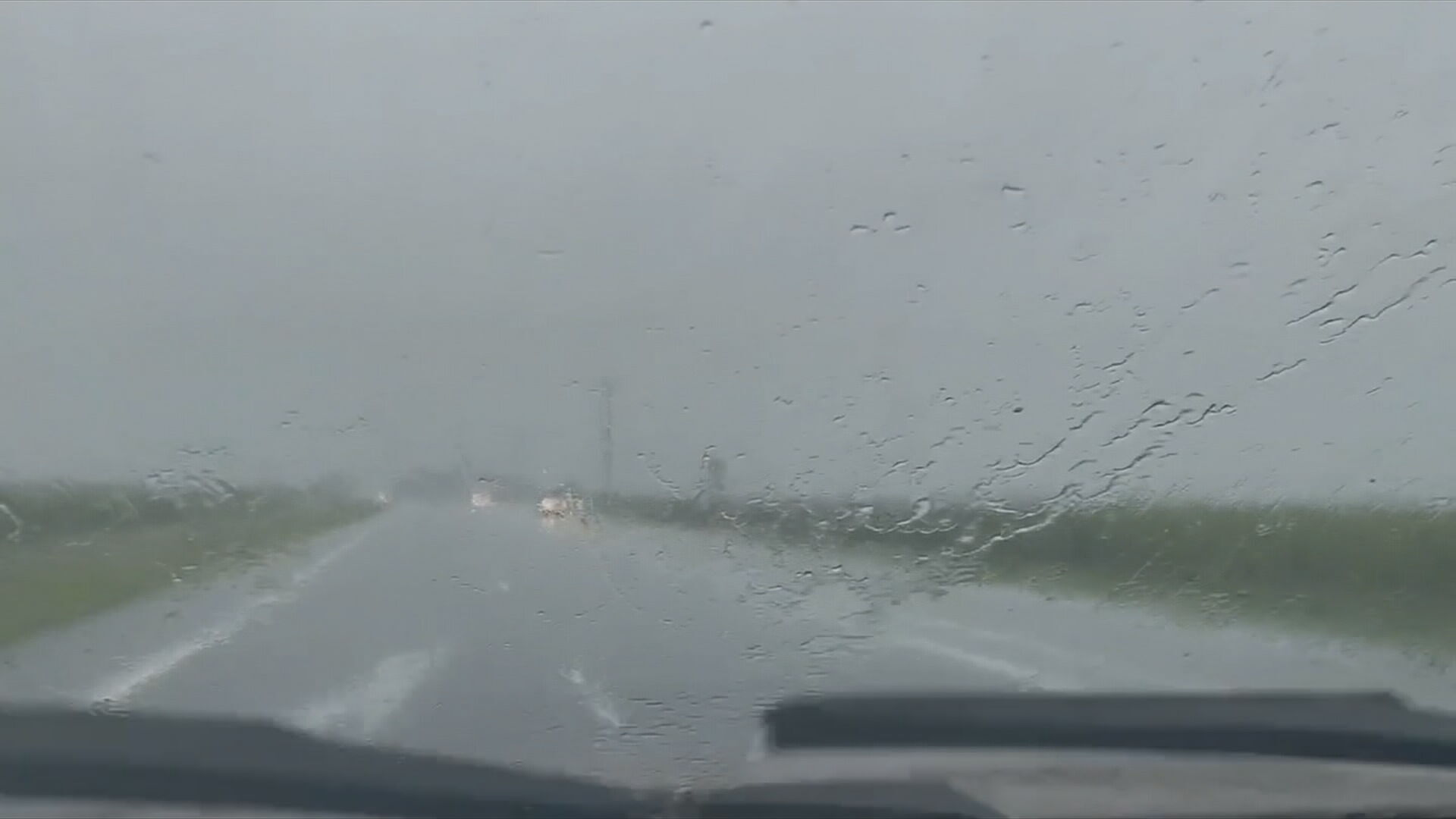
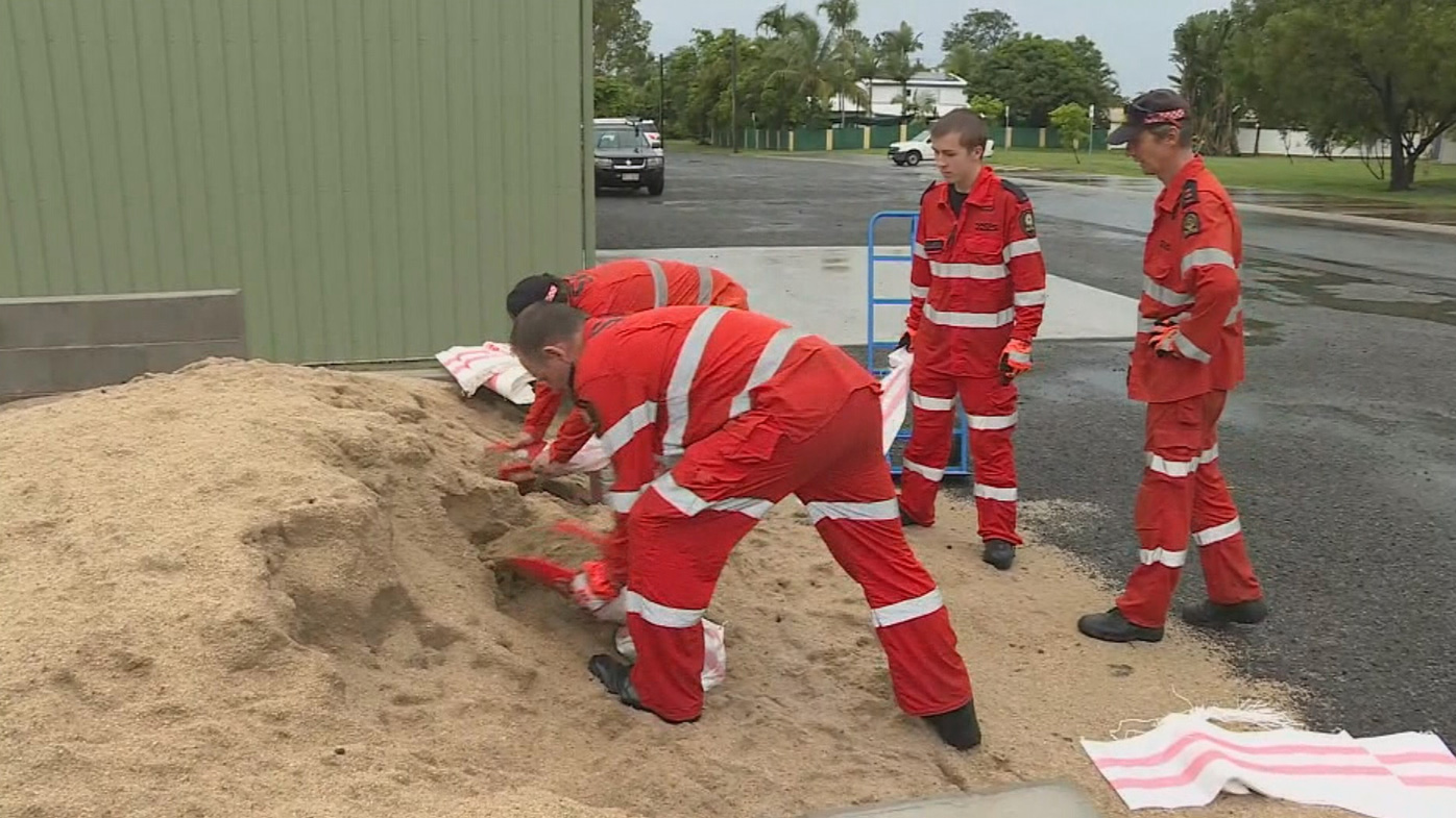
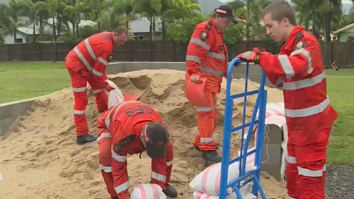
Heavy rainfall with the potential to cause flash flooding has put residents in Kimi's firing line on flood watch, many yesterday laying sand bags in an effort to waterproof their homes.
"There's going to be a lot of rainfall so of course the key message is if it's flooded forget it," Premier Annastacia Palaszczuk said yesterday.
"If you don't need to be on the roads tonight, don't be on the roads tonight."
Kimi keeps trackers on their toes all day Monday
The cyclone intensified to a category two storm on Monday, and throughout the day its projected path changed about a dozen times.
Residents from Innisfail to Ayr — including Lucinda, Palm Island and Townsville — were alerted in the morning that they were in the striking zone as Kimi tracked south-east.
The cyclone was initially due to hit Port Douglas just after breakfast on Monday but turned south, hugging the coastline and threatening towns with strong winds and heavy rain.
Innisfail felt Kimi's presence more than most, forcing preparations into overdrive.
"We're just ensuring that our teams are all ready and available in those southern areas," Eleanor Rosam from the State Emergency Service said.
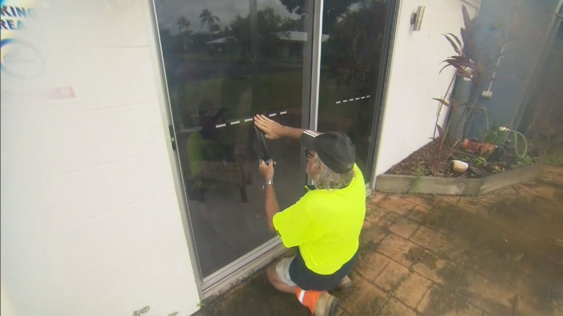
Further south at Cardwell, locals were not leaving anything to chance.
"You don't know, this could end up intensifying, it could end up and down the coast for another week, but you know, you just have to roll with the punches," local Sharon Cameron said.
It is 10 years since Cardwell residents were preparing for a category five system — Tropical Cyclone Yasi.
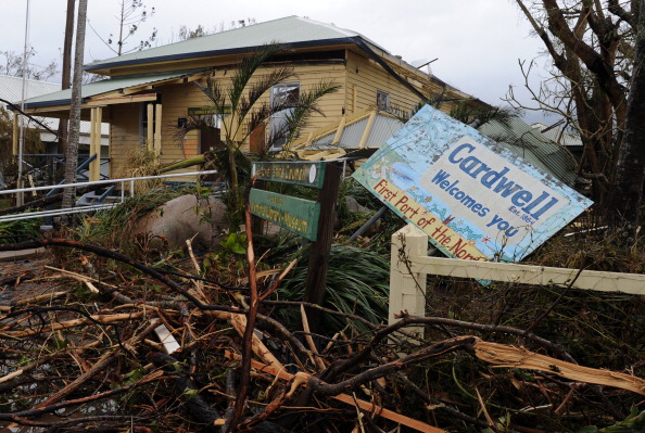
The damage was near unimaginable and absolutely unforgettable.
"The destruction was enormous, as you can imagine. There wasn't a leaf left on any tree," Caldwell local Warren Stahel said.
Ms Palaszczuk urged all Queenslanders living between Innisfail and Ingham "to be listening to their radio" and to make preparations for violent, potentially deadly, weather.
Parts of south-east and central Queensland will also feel the effects of Kimi, with torrential rain and flooding forecast.
"We do expect there to be a lot of rain coming with this cyclone," Ms Palaszczuk said.
READ MORE: Restrictions set to ease as Brisbane's outbreak appears contained
Potentially dangerous flash flooding will be a risk, and extremely high winds are expected.
"We want everyone in these regions up north to be listening to their radio," Ms Palaszczuk said.
"If it's flooded, forget it," she said, warning of the danger of trying to escape or cross rising waters.
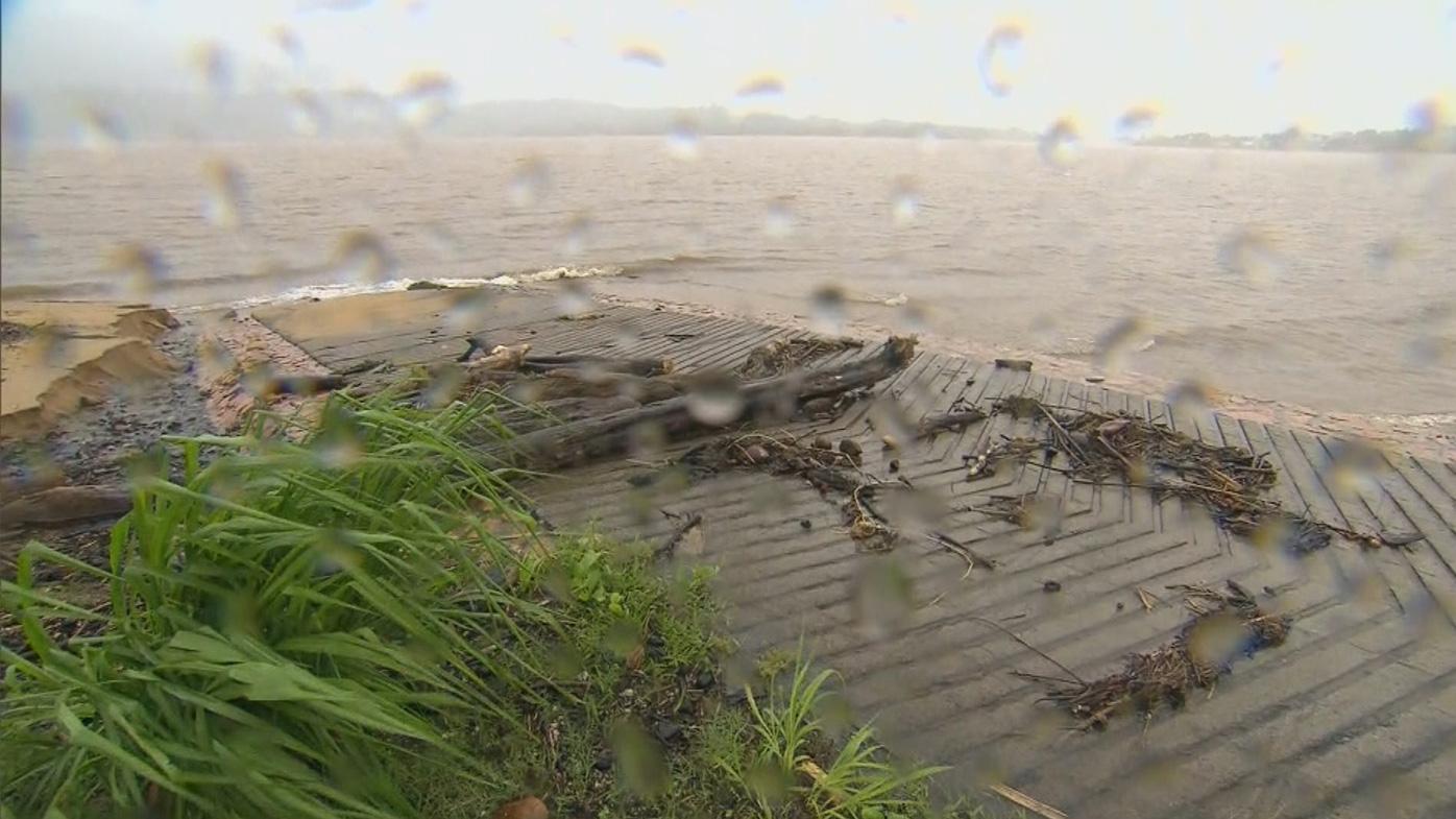
Major river flooding could occur in the Herbert, Murray and Tully River catchment areas, which are already described as "saturated".
Queensland Police Minister Mark Ryan warned of storm tides predicted between areas of Yarrabah and Cardwell.
"If you're on the coast there, be prepared."
Mr Ryan said anybody in Kimi's firing line should secure property, trampolines, sheds and outdoor furniture.
"It is very important you have a plan," he said.
"Be very, very careful about the intense rain that could come in south-east Queensland because it could bring that flash flooding."